


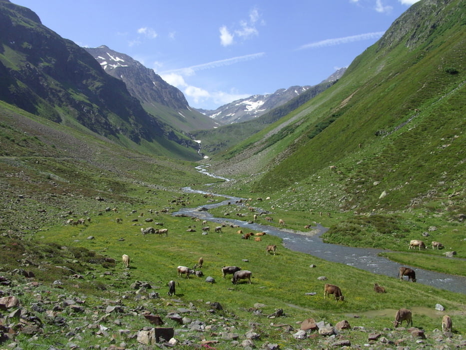
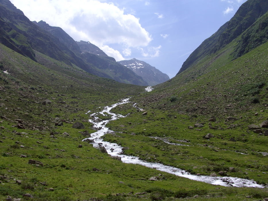
weniger spektakuläre, aber dafür landschaftlich schöne Tour in ein langes Seitental in den Ötztaler Alpen,. Die Tour ist trotz der wenigen Höhenmetern doch recht anstrengend, da es permanent steil bergauf geht und die wenigen Flachstücke kaum Erholungsmöglichkeit bietet. Eine Einkehrmöglichkeit bietet sich an der schön gelegenen Pollesalm. Die hintere Pollesalm ist nicht bewirtschaftet. 700 mtr. nach der hinteren Pollesalm endet der Fahrweg. Von da bietet sich noch eine Wandermöglichkeit weiter Richtung Polleskogel an.
Galeria trasy

Mapa trasy i profil wysokości
Minimum height 1221 m
Maximum height 2290 m
More about the tour author
|
|
yr1willi |
Komentarze

von Innsbruck Richtung Imst in das Ötztal bis Huben, oder von Norden über den Fernpass. In Huben am Ortseingang großer gebührenfreier Parkplatz.
GPS tracks
Trackpoints-
GPX / Garmin Map Source (gpx) download
-
TCX / Garmin Training Center® (tcx) download
-
CRS / Garmin Training Center® (crs) download
-
Google Earth (kml) download
-
G7ToWin (g7t) download
-
TTQV (trk) download
-
Overlay (ovl) download
-
Fugawi (txt) download
-
Kompass (DAV) Track (tk) download
-
Karta trasy (pdf) download
-
Original file of the author (gpx) download
More about the tour author
|
|
yr1willi |
Add to my favorites
Remove from my favorites
Edit tags
Open track
My score
Rate