Login

Zapomniałeś swój login?

Cookies have to be accepted!
Your browser's cookie functionality is disabled. Please enable this functionality.

Not a member yet?

Register now
Login

Available for registred users only

Log in to use this feature.

Zapomniałeś swój login?

Cookies have to be accepted!
Your browser's cookie functionality is disabled. Please enable this functionality.

Not a member yet?

Register now
Filter
Kategorie
Advanced filters
  • Długość (km)
  • Wysokość
Zapisz filtr Reset filter

TrackRank

QRCode

Technical data

Długość15,3 km Wysokość497 m Way down493 m Czas trwania01:15 h:m Data15.07.2010
Oceny Author Krajobraz Czynnik zadowolenia Kondycja Technika

Statystyka

137 Widoki Oceny 7 Downloads / Pliki do pobrania Przeciętnie
Rate
  • Karta trasy
  • Dojazd
  • Downloads / Pliki do pobrania

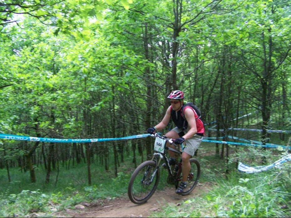
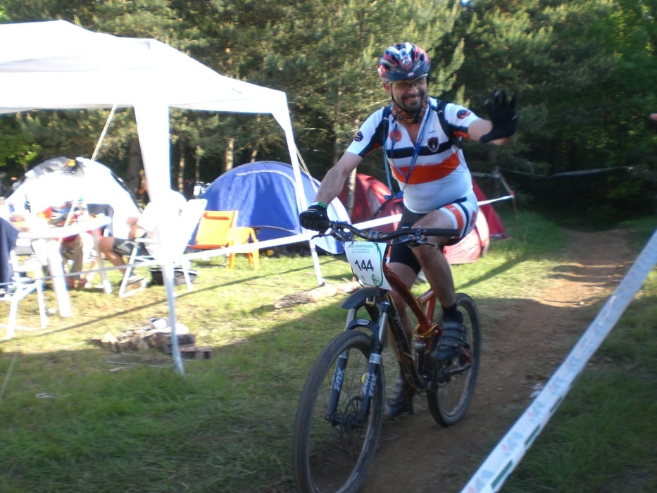
Très beau circuit avec une majorité de single.

Pas de partie roulantes, de très belle descentes suivie de très belles montée.

Un circuit tout simplement génial.

Further information at

http://crapauds.net/crapauds/page/crapauds.php

Galeria trasy

Mapa trasy i profil wysokości

  • Open Street Map
  • Google
Minimum height 184 m Maximum height 349 m Widok szczegółowy

More about the tour author

pascal.67
Member since 2008

Send private message

Komentarze

GPS tracks

Trackpoints
  • GPX / Garmin Map Source (gpx) download
  • TCX / Garmin Training Center® (tcx) download
  • CRS / Garmin Training Center® (crs) download
  • Google Earth (kml) download
  • G7ToWin (g7t) download
  • TTQV (trk) download
  • Overlay (ovl) download
  • Fugawi (txt) download
  • Kompass (DAV) Track (tk) download
  • Karta trasy (pdf) download
  • Original file of the author (gpx) download

More about the tour author

pascal.67
Member since 2008

Send private message
Share track
Add to my favorites
Remove from my favorites
Edit tags
My score
Rate
Trasa: Crapauds 2010
Rodzaj: Rower górski (MTB)
Długość: 15,3 km
Evaluated on:
Czas trwania:
Day(s)
Hour(s)
Minute(s)
Ocena: Krajobraz Czynnik zadowolenia Kondycja Technika