

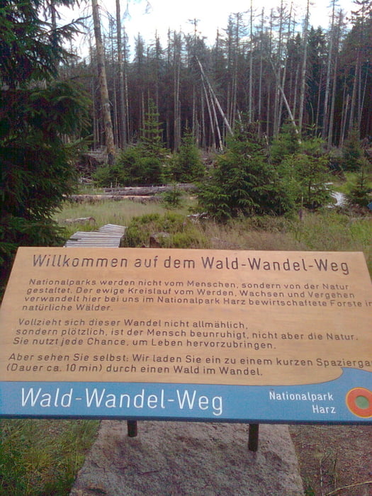
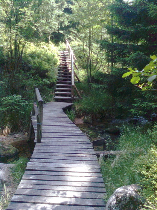
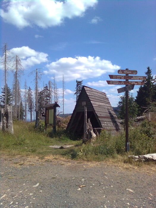
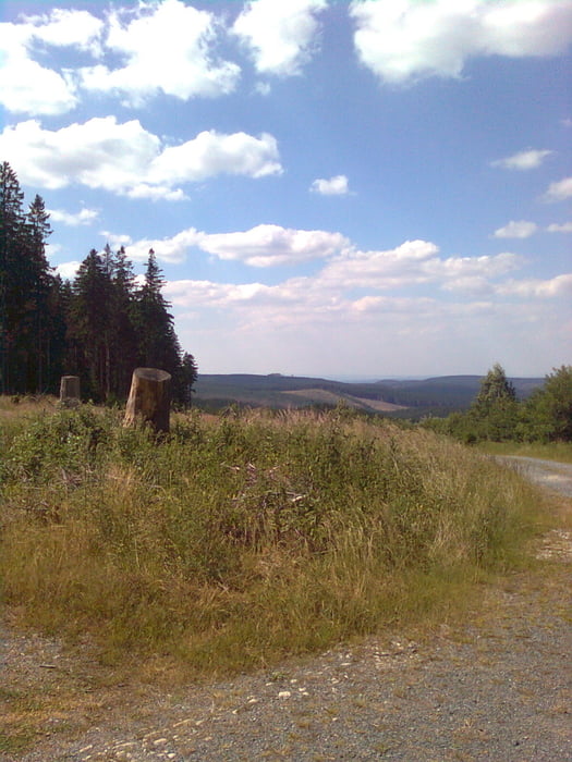
Los gehts ab Torfhaus ca 4 km von Braunlage entfernt. Waldweg erstmal abwärts Richtung Ecker, dann an der Ecker schmaler Pfad über Holzbrücke zum Scharfenstein. Raststätte um ein wenig Energie zu tanken und nette Wirtsleute. Forstweg weiter zum Molkenhausstern. Leicht bergan auf Georg Scheffel Weg nach Drei Annen Hohne. hier am Erdbeerkopf rechts halten und an der alten Ruine der Glashütte vorbei Richtung Schierke. Nun parralel zum Gleisbett der Brockenbahn bis zur neuen Brockenstrasse. Hier schöne Abfahrt geniessen bis zum Oberen......Weg, nach Anstieg zum Sandbrink wechseln. Über Waldweg zum Dreieckigen Pfahl- Ehrenfriedhof und die letzten zwei Kilometer auf der B4 nach Torhaus-geschafft !
Further information at
http://www.harzidyll.deGaleria trasy
Mapa trasy i profil wysokości
Minimum height 671 m
Maximum height 966 m
More about the tour author
|
|
harzidyll |
Komentarze

GPS tracks
Trackpoints-
GPX / Garmin Map Source (gpx) download
-
TCX / Garmin Training Center® (tcx) download
-
CRS / Garmin Training Center® (crs) download
-
Google Earth (kml) download
-
G7ToWin (g7t) download
-
TTQV (trk) download
-
Overlay (ovl) download
-
Fugawi (txt) download
-
Kompass (DAV) Track (tk) download
-
Karta trasy (pdf) download
-
Original file of the author (tcx) download
More about the tour author
|
|
harzidyll |
Add to my favorites
Remove from my favorites
Edit tags
Open track
My score
Rate