


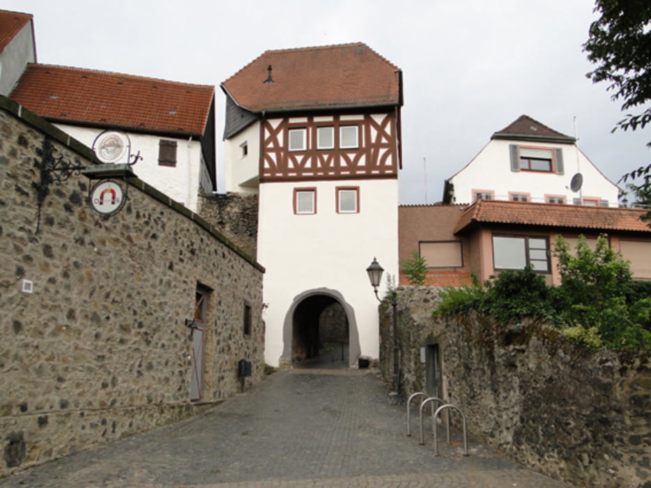
Die Tour beginnt in Maintal am Bürgerhaus, führt über Hanau nach Langenselbold. Weiter geht es über Neuenhaßlau und Gondroth nach Somborn. In Dorfmitte beginnt der einzige Anstieg (nach Albstadt). Bei Bedarf kann geschoben werden. Ansonsten verläuft alles flach. Der Kahltalradweg (R4) bringt Sie über Alzenau zum Main. In Klein-Krotzenburg können Sie noch einen kleinen Abstecher zum "Eis-Köhler" machen. Außer Eis gibt es auch die bekannten Köhler-Küsse (Mohrenköpfe). Wenn Sie Zeit übrig haben, ist auch ein Besuch der Altstadt von HU-Steinheim zu empfehlen. Direkt am Radweg gibt es dazu eine Hinweistafel.
Galeria trasy

Mapa trasy i profil wysokości
Minimum height 93 m
Maximum height 203 m
More about the tour author
|
|
Bischemer |
Komentarze

Da dies eine Rundtour ist, kann der Einstieg überall an der Strecke erfolgen.
Die Tour kann auch in Hanau begonnen und beendet werden.
GPS tracks
Trackpoints-
GPX / Garmin Map Source (gpx) download
-
TCX / Garmin Training Center® (tcx) download
-
CRS / Garmin Training Center® (crs) download
-
Google Earth (kml) download
-
G7ToWin (g7t) download
-
TTQV (trk) download
-
Overlay (ovl) download
-
Fugawi (txt) download
-
Kompass (DAV) Track (tk) download
-
Karta trasy (pdf) download
-
Original file of the author (gpx) download
More about the tour author
|
|
Bischemer |
Add to my favorites
Remove from my favorites
Edit tags
Open track
My score
Rate