


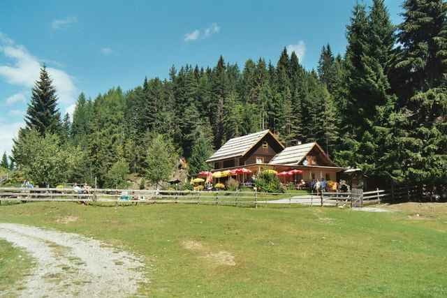
Start ist bei der Talstation der Weissensee Bergbahn. Danach geht es bergauf über die Naggler Alm bis hin zur Jadersdorfer Alm. Zum Abschluß gibt es noch einen würzigen 100m langen Ansstieg und noch eine kurze Abfahrt. An der Hütte angelangt hat man einen wunderschönen Ausblick auf die Karnische Bergwelt. Über Naggl und entlang am Weißenseeufer geht es zurück zum Landhotel Die Forelle.
Further information at
http://www.forellemueller.atGaleria trasy
Mapa trasy i profil wysokości
Minimum height 929 m
Maximum height 1539 m
More about the tour author

|
forelle |
Komentarze

Über Spittal - Greifenburg - Landhotel Die Forelle - gleich neben der evang. Kirche in Techendorf.
GPS tracks
Trackpoints-
GPX / Garmin Map Source (gpx) download
-
TCX / Garmin Training Center® (tcx) download
-
CRS / Garmin Training Center® (crs) download
-
Google Earth (kml) download
-
G7ToWin (g7t) download
-
TTQV (trk) download
-
Overlay (ovl) download
-
Fugawi (txt) download
-
Kompass (DAV) Track (tk) download
-
Karta trasy (pdf) download
-
Original file of the author (g7t) download
More about the tour author
|
|
forelle |
Add to my favorites
Remove from my favorites
Edit tags
Open track
My score
Rate