


Runde von Bremthal zum Staufen
Start am Waldparkplatz Bremthal. Lockeres Einfahren auf Hauptweg bis zum Judenkopf, dann weiter bis kurz vor Bahai-Tempel. Einfahrt in einen sehr schönen Trail bis runter nach Lorsbach. Asphaltauffahrt zur Gundelhard, von dort weiter auf Sonnenweg Richtung Staufen. Über kleinen Mannstein hoch zum großen Mannstein (Aussicht genießen !). Staufentrail und über Kaisertempel-Trail (leichtere Variante, wer's steiler mag, kann schon 50m nach dem Ristorante links abbiegen) runter nach Eppstein. Durch die Eppsteiner Altstadt bis zum Bahnhof, von dort aus langgezogener Trail durch den Wald. Zum Ausrollen noch ein paar Waldwege bis zum Ausgangspunkt.
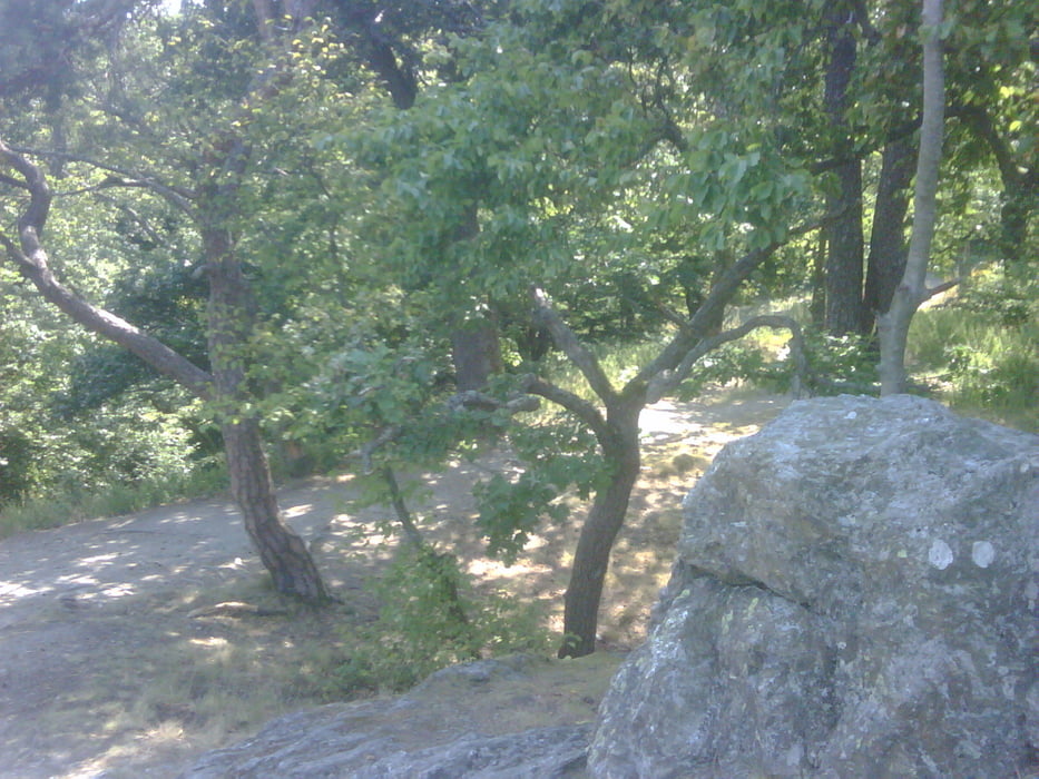
Galeria trasy
Mapa trasy i profil wysokości
Minimum height 157 m
Maximum height 431 m
More about the tour author

|
Taunusblicker |
Komentarze

Bremthal Richtung Wildsachsen, hinter Sportplatz links auf Waldparkplatz.
GPS tracks
Trackpoints-
GPX / Garmin Map Source (gpx) download
-
TCX / Garmin Training Center® (tcx) download
-
CRS / Garmin Training Center® (crs) download
-
Google Earth (kml) download
-
G7ToWin (g7t) download
-
TTQV (trk) download
-
Overlay (ovl) download
-
Fugawi (txt) download
-
Kompass (DAV) Track (tk) download
-
Karta trasy (pdf) download
-
Original file of the author (gpx) download
More about the tour author
|
|
Taunusblicker |
Add to my favorites
Remove from my favorites
Edit tags
Open track
My score
Rate