


Eine Rundtour um in den Gängen zu bleiben.
Einen Weg den ich immer wieder gern fahre ist die Promenade am Teltowkanal. Auf dieser Strecke fahre ich mich warm und dann kann es losgehen.
Diesmal verfolgte ich den "Promenadenweg bis zum Mauerweg, um dann die japanischen Kirschbäume zu besuchen.
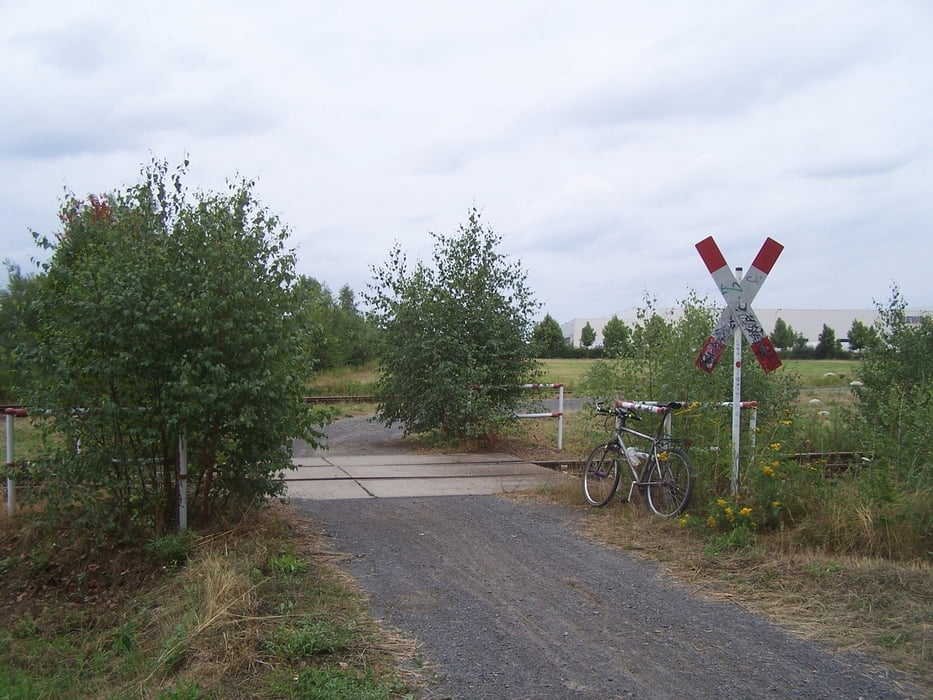
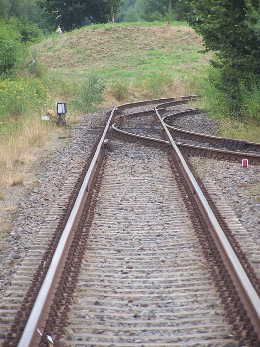
Nach der Bahnbrücke bog ich rechts ab um mich auf den Weg nach Gr0ßbeeren zu machen. Im Gewerbegebiet des Güterverkehrszentrum über die B101. (Schöne Brücke). Danach durch die parkähnliche Landschaft nach Süden. Am südlichen Ende der Wasserskistrecke in das Ortszentrum von Großbeeren.
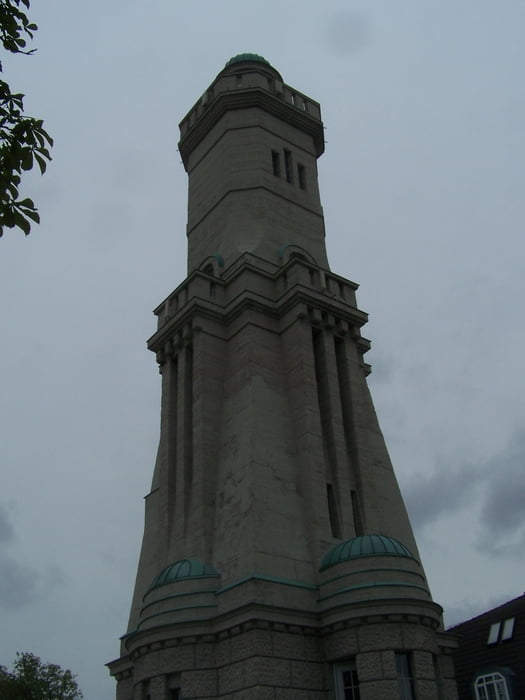
Am Turm nach rechts nach Genshagen (Kein Radweg)
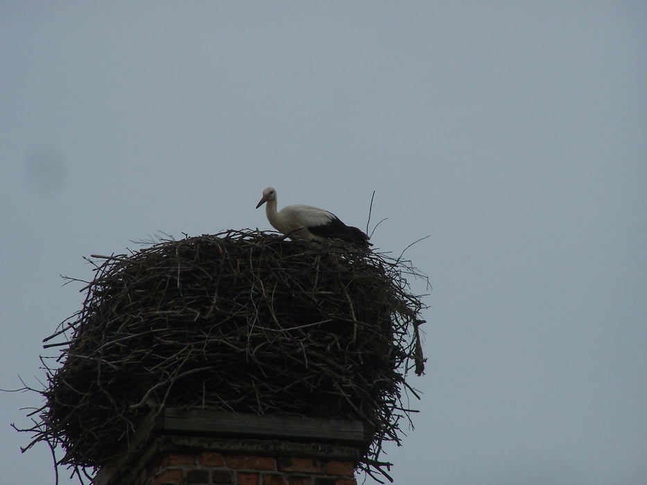
In Genshagen am Schloß geradeaus und auf Plattenwegen nach Diedersdorf.
Auf dem neu gebauten Radweg in Richtung Birkholz nach Norden. Der Verkehrsknoten ist im Bau und etwas diffizil. Birkholz links liegen lassen und nach Berlin rein und durch die Stadt zurück.
Viel Spass
Further information at
http://www.grossbeeren.de/index.php?mid=22Galeria trasy
Mapa trasy i profil wysokości
Minimum height 31 m
Maximum height 52 m
More about the tour author
|
|
Pheinz |
Komentarze

Start an beliebiger Stelle.
GPS tracks
Trackpoints-
GPX / Garmin Map Source (gpx) download
-
TCX / Garmin Training Center® (tcx) download
-
CRS / Garmin Training Center® (crs) download
-
Google Earth (kml) download
-
G7ToWin (g7t) download
-
TTQV (trk) download
-
Overlay (ovl) download
-
Fugawi (txt) download
-
Kompass (DAV) Track (tk) download
-
Karta trasy (pdf) download
-
Original file of the author (gpx) download
More about the tour author
|
|
Pheinz |
Add to my favorites
Remove from my favorites
Edit tags
Open track
My score
Rate