Login

Zapomniałeś swój login?

Cookies have to be accepted!
Your browser's cookie functionality is disabled. Please enable this functionality.

Not a member yet?

Register now
Login

Available for registred users only

Log in to use this feature.

Zapomniałeś swój login?

Cookies have to be accepted!
Your browser's cookie functionality is disabled. Please enable this functionality.

Not a member yet?

Register now
Filter
Kategorie
Advanced filters
  • Długość (km)
  • Wysokość
Zapisz filtr Reset filter

TrackRank

QRCode

Technical data

Długość25,2 km Wysokość475 m Way down477 m Czas trwania01:40 h:m Data26.07.2010
Oceny Author Krajobraz Czynnik zadowolenia Kondycja Technika

Statystyka

330 Widoki 1 Ocena 49 Downloads / Pliki do pobrania 3.00 Przeciętnie
Rate
  • Karta trasy
  • Dojazd
  • Downloads / Pliki do pobrania

Start und Ende ist Kaiserslautern- Erlenbach am Sportplatz.

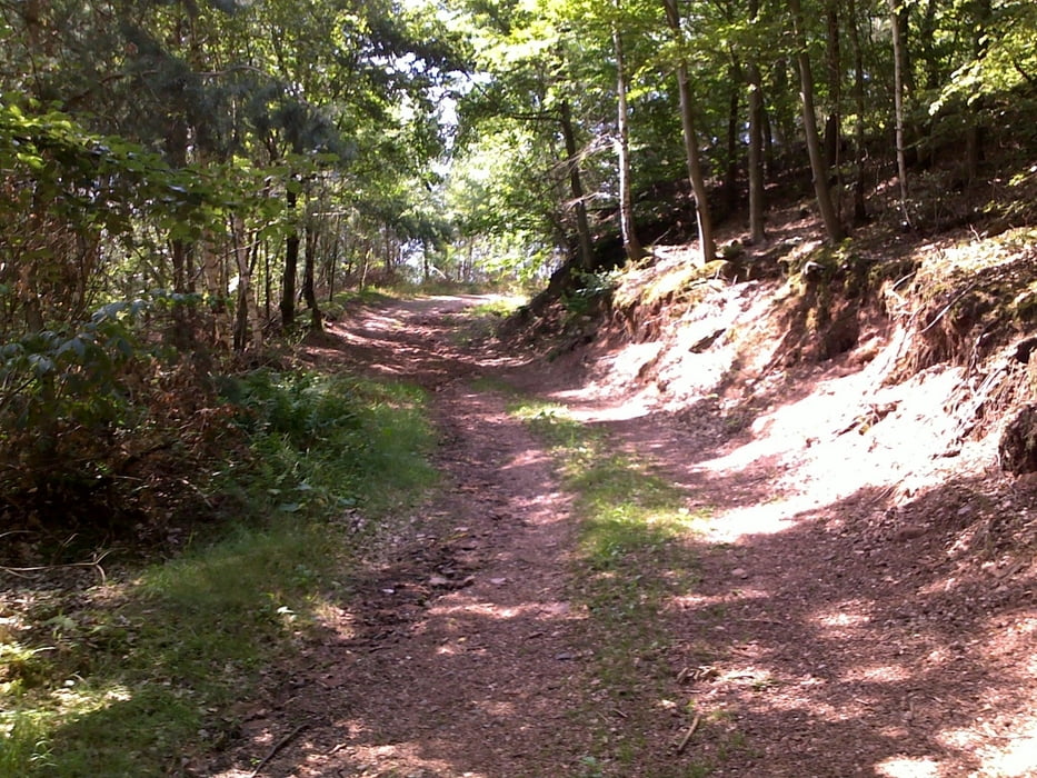
Schöne kurze Strecke mit guten Steigungen. Man fährt an den Orten Althütterhof, Drehentalerhof und Messerschwanderhof vorbei bzw. durch.
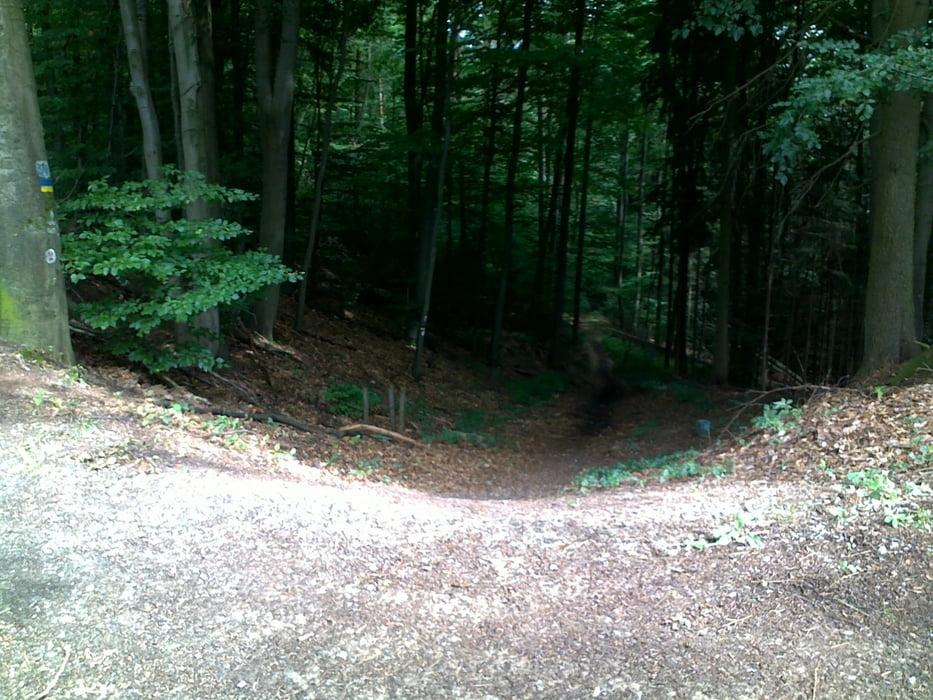


Galeria trasy

Mapa trasy i profil wysokości

  • Open Street Map
  • Google
Minimum height 259 m Maximum height 384 m Widok szczegółowy

More about the tour author

chris78kl
Member since 2010

Send private message

Komentarze

U.J._Alexander on 06.06.2014

Nette, einfache Tour

Keine spektakuläre, aber wirklich nette und einfache Tour. Auf Singletrails wartet man zwar vergeblich, aber wenn man das vorher weiß, ist es ja auch mal in Ordnung.

GPS tracks

Trackpoints
  • GPX / Garmin Map Source (gpx) download
  • TCX / Garmin Training Center® (tcx) download
  • CRS / Garmin Training Center® (crs) download
  • Google Earth (kml) download
  • G7ToWin (g7t) download
  • TTQV (trk) download
  • Overlay (ovl) download
  • Fugawi (txt) download
  • Kompass (DAV) Track (tk) download
  • Karta trasy (pdf) download
  • Original file of the author (gpx) download

More about the tour author

chris78kl
Member since 2010

Send private message
Share track
Add to my favorites
Remove from my favorites
Edit tags
My score
Rate
Trasa: KL- Nord1
Rodzaj: Rower górski (MTB)
Długość: 25,2 km
Evaluated on:
Czas trwania:
Day(s)
Hour(s)
Minute(s)
Ocena: Krajobraz Czynnik zadowolenia Kondycja Technika