

Asphalierte Straße, Trampelpfade
Eine ausführliche Tourenbeschreibung gibt es in der Touristeninformation im Zentrum.
Vom Zentrum in Ulvik startet man mit einem Besuch der Kirche von 1859. Holzkirche mit Innendekoration des Künstlers Lars Orsa.
Ca. 400m auf der Straße Richtung Osa, vorbei am lokalen Wasserkraftwerk BKK ovon 1974.
Die Straße "Hakestad" Richtung "Syse". Weiter Richtung "Lekve". In "Levke" links ab und den Weg aufwärts Richtung "Tunheim". Später der Ausschilderung Richtung "Solhovden" folgen.
Mitten durch die Wiesen und dem Wald. "Ljonakleiv" bietet auf halber Strecke die Möglichkeit zu einer Pause. An der Hütte hat man fast die Höhe erreicht.
Von "Solvhovden" geht es über die Straße zurück nach Ulvik.
Further information at
http://www.visitulvik.comMapa trasy i profil wysokości
Minimum height -11 m
Maximum height 298 m
More about the tour author

|
HanHH |
Komentarze

Anfahrt direkt mit dem PKW nach Ulvik, Zentrum.
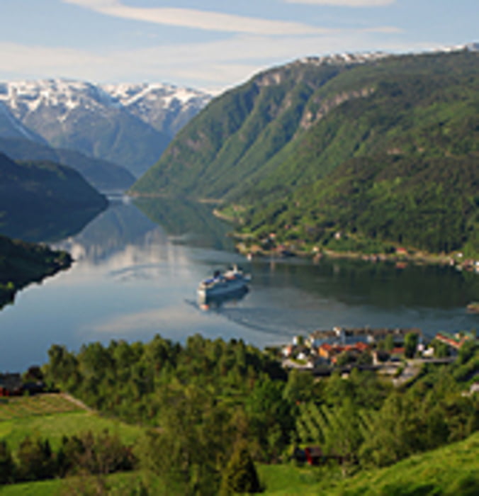
Alternativ die Anreise mit "Fjordcruises" über den Haddanger/Eidfjord nach Ulvik. Im Sommer Personentransport 1x täglich.
GPS tracks
Trackpoints-
GPX / Garmin Map Source (gpx) download
-
TCX / Garmin Training Center® (tcx) download
-
CRS / Garmin Training Center® (crs) download
-
Google Earth (kml) download
-
G7ToWin (g7t) download
-
TTQV (trk) download
-
Overlay (ovl) download
-
Fugawi (txt) download
-
Kompass (DAV) Track (tk) download
-
Karta trasy (pdf) download
-
Original file of the author (gpx) download
More about the tour author
|
|
HanHH |
Add to my favorites
Remove from my favorites
Edit tags
Open track
My score
Rate