
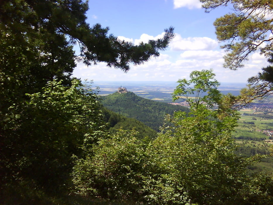

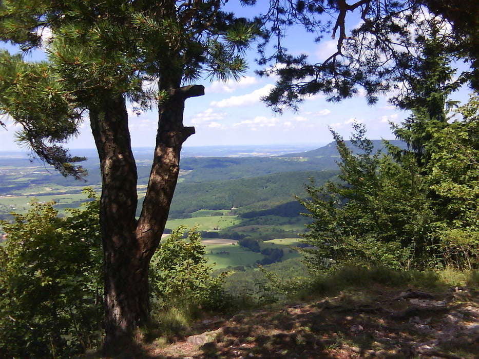
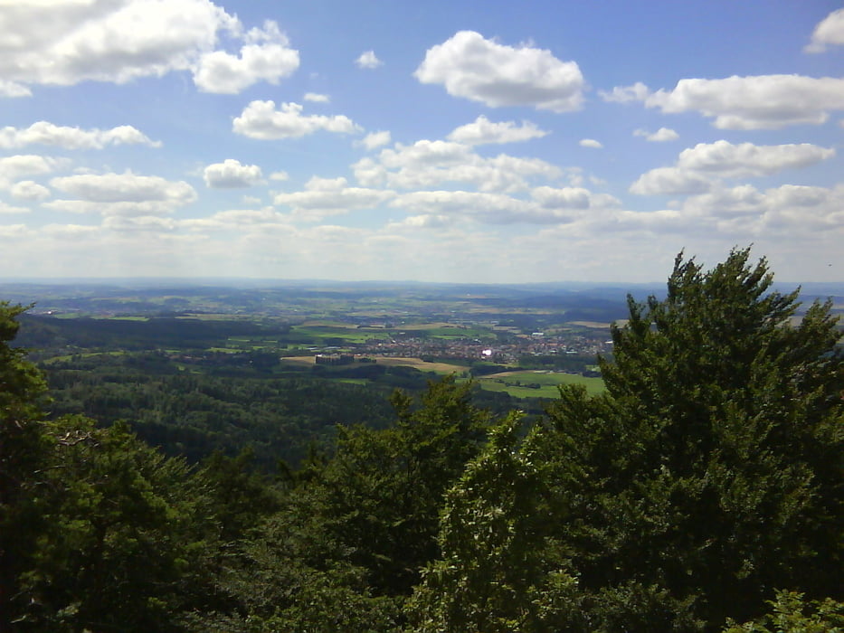
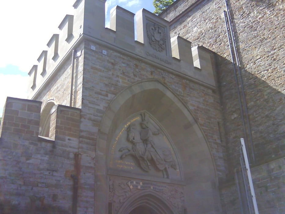
Wir starten von Jungingen auf den Himberg. Weiter geht es auf den Raichberg ( Aussicht ! ) und das Zeller Horn ( Aussicht ! ). Nun geht es abwärts Richtung Burg Hohenzollern. Wir haben noch einen kleinen Abstecher direkt hoch zur Burg eingebaut. Danach geht es die Burg Straße rasant abwärts. Über Boll und Schlatt fahren wir hinauf zum mittleren Traufweg. Diesem folgen wir einige Zeit, bevor wir nach Jungingen abfahren. Von hier haben wir nochmals einen schönen Blick auf den Raichberg und die Burg.
Galeria trasy

Mapa trasy i profil wysokości
Minimum height 534 m
Maximum height 942 m
More about the tour author

|
mareb1972 |
Komentarze

B 32 nach Jungingen. Parkplatz beim Sportplatz.
GPS tracks
Trackpoints-
GPX / Garmin Map Source (gpx) download
-
TCX / Garmin Training Center® (tcx) download
-
CRS / Garmin Training Center® (crs) download
-
Google Earth (kml) download
-
G7ToWin (g7t) download
-
TTQV (trk) download
-
Overlay (ovl) download
-
Fugawi (txt) download
-
Kompass (DAV) Track (tk) download
-
Karta trasy (pdf) download
-
Original file of the author (gpx) download
More about the tour author
|
|
mareb1972 |
Add to my favorites
Remove from my favorites
Edit tags
Open track
My score
Rate