


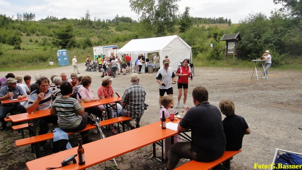
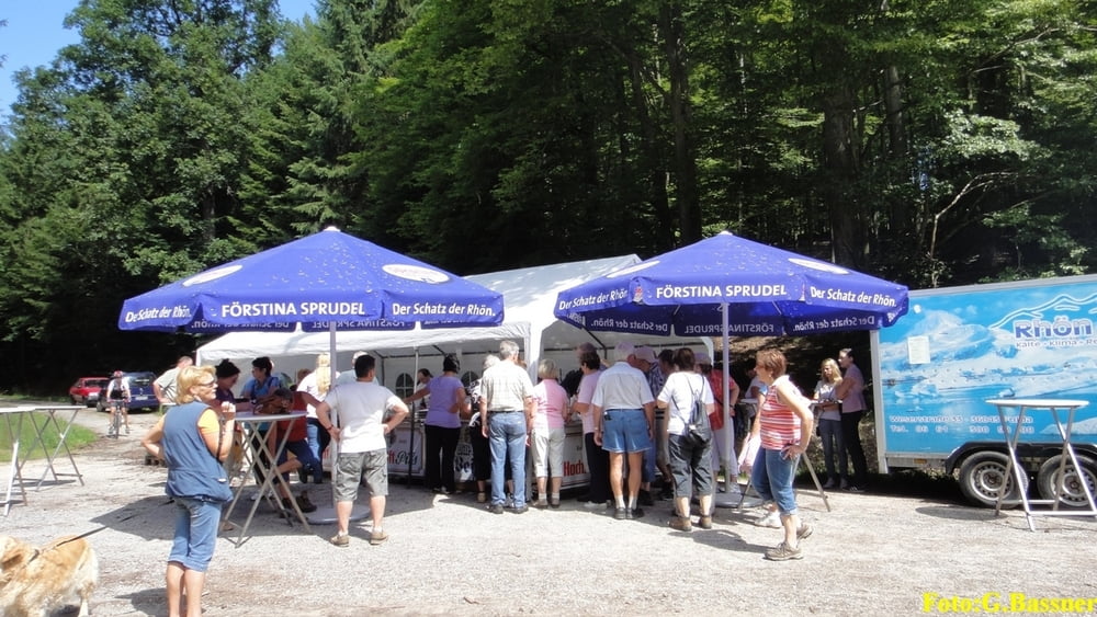
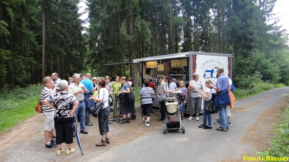
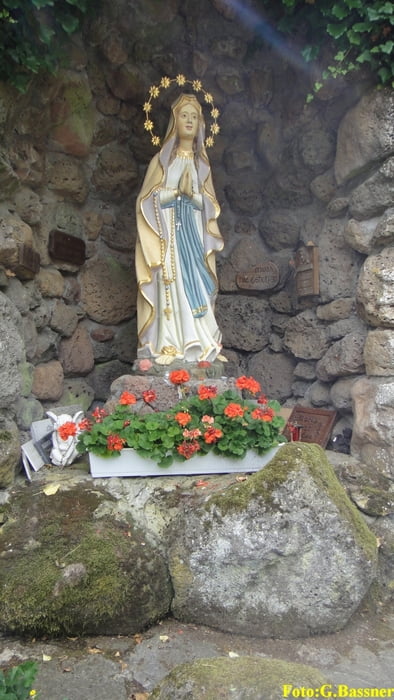
Start zur 12. Kulinarischen Wanderung am Landgasthof Imhof Rommerz bei Neuhof / Fulda. Natürlich kann man die Strecke nur als solche nachträglich, ohne den am 1. August 2010 stattgefundenen Event, erwandern. In Rommerz geht es bergauf zur Mariengrotte und weiter zum Schacht 2 des Kaliwerkes Neuhof. Ein landschaftlich reizvoller Weg führt uns im Lützgrund entlang. Der weitere Weg führt z.B. durch lichte Buchenwälder bis zu einer wunderbaren Aussicht mit genialem Blick zur Rhön. Der weitere Weg führt zurück zur Mariengrotte und dem Landgasthof Imhof.
Wer dieses Jahr noch nicht teilnahm, möge sich im nächsten Jahr diesen Event vormerken. Die 13. Kulinarische Wanderung wird voraussichtlich am 31.Juli 2011 stattfinden.
Further information at
http://www.landhotel-imhof.de/Galeria trasy
Mapa trasy i profil wysokości
Minimum height 259 m
Maximum height 382 m
More about the tour author

|
gerbike |
Komentarze

Für Nutzer von KFZ Navigationsgeräten: Landgasthof Imhof, Hauswurzer Str. 4, 36119 Hauswurz / Neuhof.
GPS tracks
Trackpoints-
GPX / Garmin Map Source (gpx) download
-
TCX / Garmin Training Center® (tcx) download
-
CRS / Garmin Training Center® (crs) download
-
Google Earth (kml) download
-
G7ToWin (g7t) download
-
TTQV (trk) download
-
Overlay (ovl) download
-
Fugawi (txt) download
-
Kompass (DAV) Track (tk) download
-
Karta trasy (pdf) download
-
Original file of the author (gpx) download
More about the tour author
|
|
gerbike |
Add to my favorites
Remove from my favorites
Edit tags
Open track
My score
Rate