
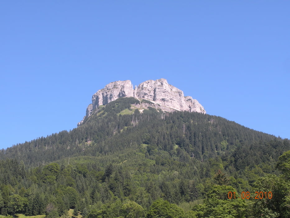

Vom Parkplatz bei der Loserhütte (1.504 m) auf dem AV Weg Nr. 255 auf den Loser (1.838 m), auf dem Weg AV Nr. 256 auf den Hochanger (1.837m), hinunter zum Loserfenster und zum Augstsee (1.643 m). Von der Loseralm (1.600 m) dem Geo-Erlebnisweg (25 Stationen) folgen. Hochplateaurundweg wieder zurück zur Loseralm. Auf der Loser Panoramastraße wieder zurück bis zum Parkplatz bei der Loserhütte.
Galeria trasy


Mapa trasy i profil wysokości
Minimum height 1478 m
Maximum height 1818 m
More about the tour author
|
|
Fritzl71 |
Komentarze

Von Altaussee zur Talstation der Loserbergbahnen. Auffahrt auf der Loser Panoramastraße bis zur Loserhütte (PKW-Maut 15 €)
GPS tracks
Trackpoints-
GPX / Garmin Map Source (gpx) download
-
TCX / Garmin Training Center® (tcx) download
-
CRS / Garmin Training Center® (crs) download
-
Google Earth (kml) download
-
G7ToWin (g7t) download
-
TTQV (trk) download
-
Overlay (ovl) download
-
Fugawi (txt) download
-
Kompass (DAV) Track (tk) download
-
Karta trasy (pdf) download
-
Original file of the author (gpx) download
More about the tour author
|
|
Fritzl71 |
Add to my favorites
Remove from my favorites
Edit tags
Open track
My score
Rate