Login

Zapomniałeś swój login?

Cookies have to be accepted!
Your browser's cookie functionality is disabled. Please enable this functionality.

Not a member yet?

Register now
Login

Available for registred users only

Log in to use this feature.

Zapomniałeś swój login?

Cookies have to be accepted!
Your browser's cookie functionality is disabled. Please enable this functionality.

Not a member yet?

Register now
Filter
Kategorie
Advanced filters
  • Długość (km)
  • Wysokość
Zapisz filtr Reset filter

TrackRank

QRCode

Technical data

Długość32,2 km Wysokość1745 m Way down1734 m Czas trwania00:00 h:m Data01.08.2010
Oceny Author User Krajobraz Czynnik zadowolenia Kondycja Technika

Statystyka

916 Widoki 1 Ocena 180 Downloads / Pliki do pobrania 5.00 Przeciętnie
Rate
  • Karta trasy
  • Dojazd
  • Downloads / Pliki do pobrania

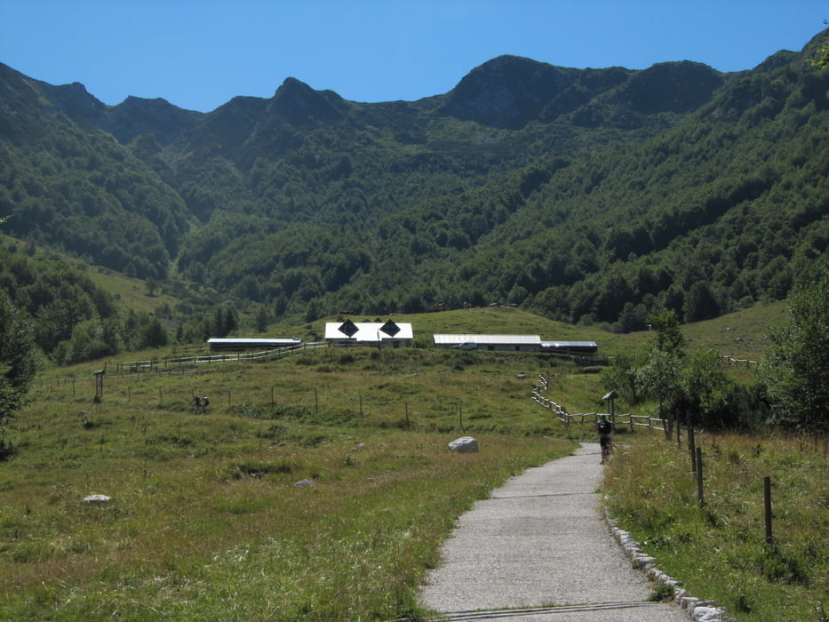
Precej naporna tura nad Rezjansko dolino. Nošenje in rinjenje kolesa 450 vm od planine Kot do Skutnika, po grebenu cca 250 vm.

Galeria trasy

Mapa trasy i profil wysokości

  • Open Street Map
  • Google
Minimum height 345 m Maximum height 1716 m Widok szczegółowy

More about the tour author

BOR-M
Member since 2010

Send private message

Komentarze

Ljubljana-Kranjska Gora-Trbiž-Ponteba-odcep za Osojane.

GPS tracks

Trackpoints
  • GPX / Garmin Map Source (gpx) download
  • TCX / Garmin Training Center® (tcx) download
  • CRS / Garmin Training Center® (crs) download
  • Google Earth (kml) download
  • G7ToWin (g7t) download
  • TTQV (trk) download
  • Overlay (ovl) download
  • Fugawi (txt) download
  • Kompass (DAV) Track (tk) download
  • Karta trasy (pdf) download
  • Original file of the author (gpx) download

More about the tour author

BOR-M
Member since 2010

Send private message
Share track
Add to my favorites
Remove from my favorites
Edit tags
My score
Rate
Trasa: Skutnik
Rodzaj: Rower górski (MTB)
Długość: 32,2 km
Evaluated on:
Czas trwania:
Day(s)
Hour(s)
Minute(s)
Ocena: Krajobraz Czynnik zadowolenia Kondycja Technika