Login

Zapomniałeś swój login?

Cookies have to be accepted!
Your browser's cookie functionality is disabled. Please enable this functionality.

Not a member yet?

Register now
Login

Available for registred users only

Log in to use this feature.

Zapomniałeś swój login?

Cookies have to be accepted!
Your browser's cookie functionality is disabled. Please enable this functionality.

Not a member yet?

Register now
Filter
Kategorie
Advanced filters
  • Długość (km)
  • Wysokość
Zapisz filtr Reset filter

TrackRank

QRCode

Technical data

Długość4,9 km Wysokość237 m Way down659 m Czas trwania01:50 h:m Data03.08.2010
Oceny Author Krajobraz Czynnik zadowolenia Kondycja Technika

Statystyka

3265 Widoki Oceny 94 Downloads / Pliki do pobrania Przeciętnie
Rate
  • Karta trasy
  • Dojazd
  • Downloads / Pliki do pobrania

Schnalstal:

Wir fahren das Schnalstal bis zum Ende (22,5 km) nach Kurzras.

Von dort geht es mit dem Sessellift bis zur Lazaunhütte (2427m).

Wir nehmen den Wanderweg 11A, dann Weg 1 (Langgrubtal). Wir wagen den kurzen Aufstieg (Weg 12) und genießen den herrlichen Blick nach Kurzras und ins Schnalstal.
Talwärts geht es dann auf Weg 3 (sehr steinig)

ca. 5km / 1,5 h

Familien-Tour ... empfehlenswert
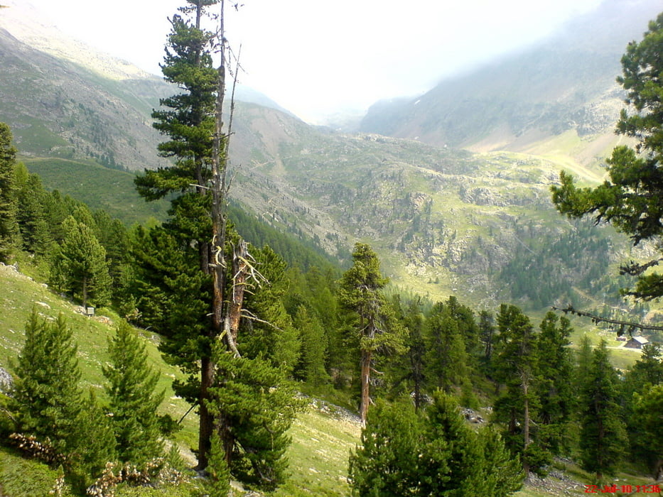
Galeria trasy

Mapa trasy i profil wysokości

  • Open Street Map
  • Google
Minimum height 2023 m Maximum height 2451 m Widok szczegółowy

More about the tour author

Stummi
Member since 2009

Send private message

Komentarze

GPS tracks

Trackpoints
  • GPX / Garmin Map Source (gpx) download
  • TCX / Garmin Training Center® (tcx) download
  • CRS / Garmin Training Center® (crs) download
  • Google Earth (kml) download
  • G7ToWin (g7t) download
  • TTQV (trk) download
  • Overlay (ovl) download
  • Fugawi (txt) download
  • Kompass (DAV) Track (tk) download
  • Karta trasy (pdf) download
  • Original file of the author (gpx) download

More about the tour author

Stummi
Member since 2009

Send private message
Share track
Add to my favorites
Remove from my favorites
Edit tags
My score
Rate
Trasa: Schnalstal - Kurzras - Lazaunhütte
Rodzaj: Wędrówki
Długość: 4,9 km
Evaluated on:
Czas trwania:
Day(s)
Hour(s)
Minute(s)
Ocena: Krajobraz Czynnik zadowolenia Kondycja Technika