!!! Der Track wurde mit Hilfe einer topographischen Karte erstellt und nicht mit einem GPS-Gerät aufgezeichnet !!!
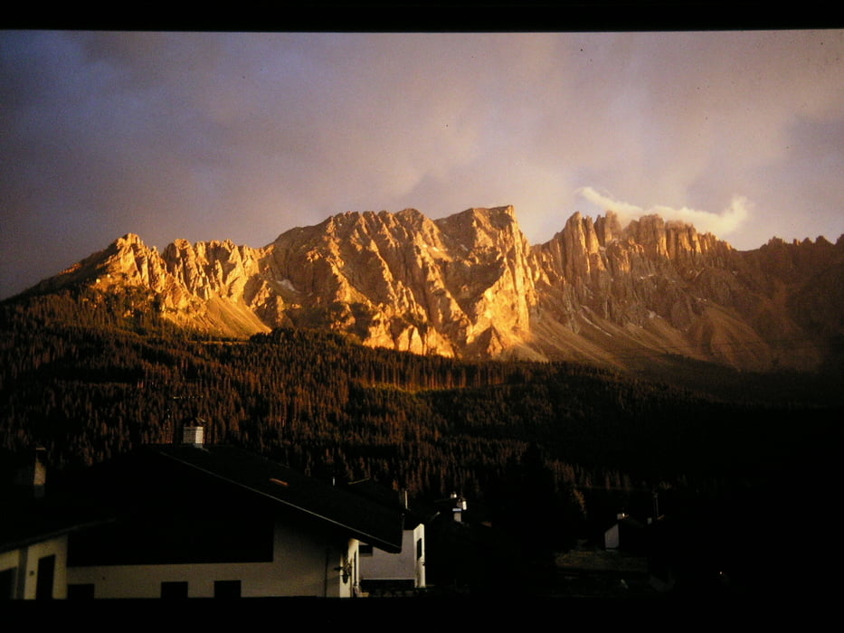
Sehr schöne Bergtour auf die Poppekanzel im Gebirgszug des Latemars 1985. Der Weg ist im wesentlichen auch der Anfangsweg zur Latemarspitze. Man kann sich überlegen, ob man die Poppekanzel und die Latemarspitze in einer Bergtour macht. Wir entschlossen uns damals die Tour aufzuteilen, und die Latemarspitze an einem anderen Tag anzugehen.
Further information at
http://de.wikipedia.org/wiki/DolomitenGaleria trasy
Mapa trasy i profil wysokości
Minimum height 1714 m
Maximum height 2305 m
Komentarze

Von Bozen aus Richtung Karerpass
GPS tracks
Trackpoints-
GPX / Garmin Map Source (gpx) download
-
TCX / Garmin Training Center® (tcx) download
-
CRS / Garmin Training Center® (crs) download
-
Google Earth (kml) download
-
G7ToWin (g7t) download
-
TTQV (trk) download
-
Overlay (ovl) download
-
Fugawi (txt) download
-
Kompass (DAV) Track (tk) download
-
Karta trasy (pdf) download
-
Original file of the author (gpx) download
Add to my favorites
Remove from my favorites
Edit tags
Open track
My score
Rate


