Login

Zapomniałeś swój login?

Cookies have to be accepted!
Your browser's cookie functionality is disabled. Please enable this functionality.

Not a member yet?

Register now
Login

Available for registred users only

Log in to use this feature.

Zapomniałeś swój login?

Cookies have to be accepted!
Your browser's cookie functionality is disabled. Please enable this functionality.

Not a member yet?

Register now
Filter
Kategorie
Advanced filters
  • Długość (km)
  • Wysokość
Zapisz filtr Reset filter

TrackRank

QRCode

Technical data

Długość172,8 km Wysokość2667 m Way down2660 m Czas trwania07:00 h:m Data09.08.2010
Oceny Author Krajobraz Czynnik zadowolenia Kondycja Technika

Statystyka

532 Widoki Oceny 70 Downloads / Pliki do pobrania Przeciętnie
Rate
  • Karta trasy
  • Dojazd
  • Downloads / Pliki do pobrania

Von Darmstadt über größtenteils Trails den Vogesenweg, dann Burgenweg und dann wieder Vogesenweg (Forstwege) bis Rimbach, von da an über Landstrasse bis Unter-Absteinach, dann Feldwege nach Wilhemsfeld, Weisser Stein und Abfahrt über den Philosophenweg


Höhenprofil: Bitte beachten, dass das flache Anfangsstück nicht zur Tour gehört (Zuganfahrt)
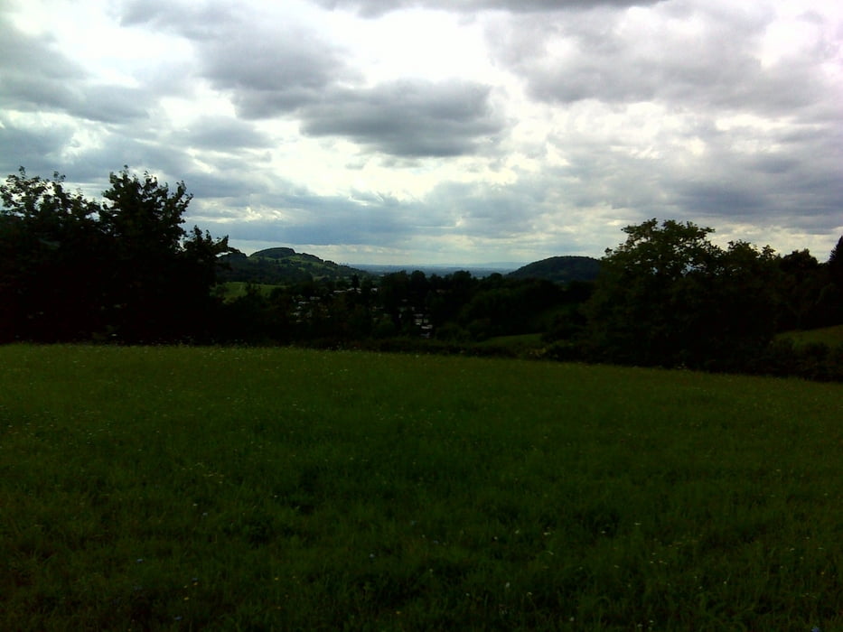
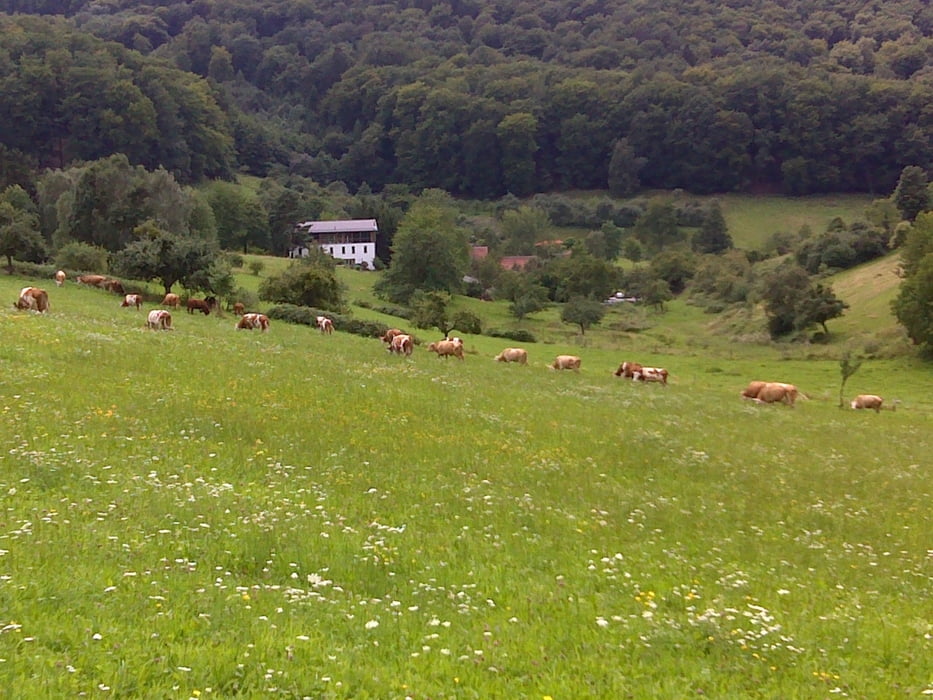
Galeria trasy

Mapa trasy i profil wysokości

  • Open Street Map
  • Google
Minimum height 11 m Maximum height 524 m Widok szczegółowy

More about the tour author

hans1969
Member since 2010

Send private message

Komentarze

GPS tracks

Trackpoints
  • GPX / Garmin Map Source (gpx) download
  • TCX / Garmin Training Center® (tcx) download
  • CRS / Garmin Training Center® (crs) download
  • Google Earth (kml) download
  • G7ToWin (g7t) download
  • TTQV (trk) download
  • Overlay (ovl) download
  • Fugawi (txt) download
  • Kompass (DAV) Track (tk) download
  • Karta trasy (pdf) download
  • Original file of the author (gpx) download

More about the tour author

hans1969
Member since 2010

Send private message
Share track
Add to my favorites
Remove from my favorites
Edit tags
My score
Rate
Trasa: Darmstadt - Heidelberg
Rodzaj: Rower górski (MTB)
Długość: 172,8 km
Evaluated on:
Czas trwania:
Day(s)
Hour(s)
Minute(s)
Ocena: Krajobraz Czynnik zadowolenia Kondycja Technika