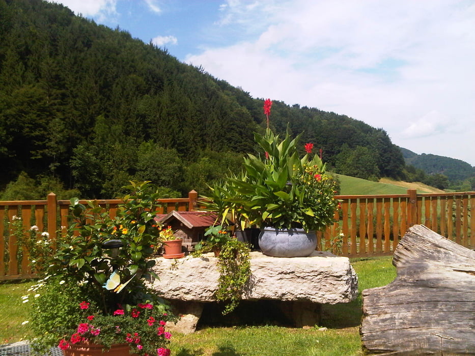
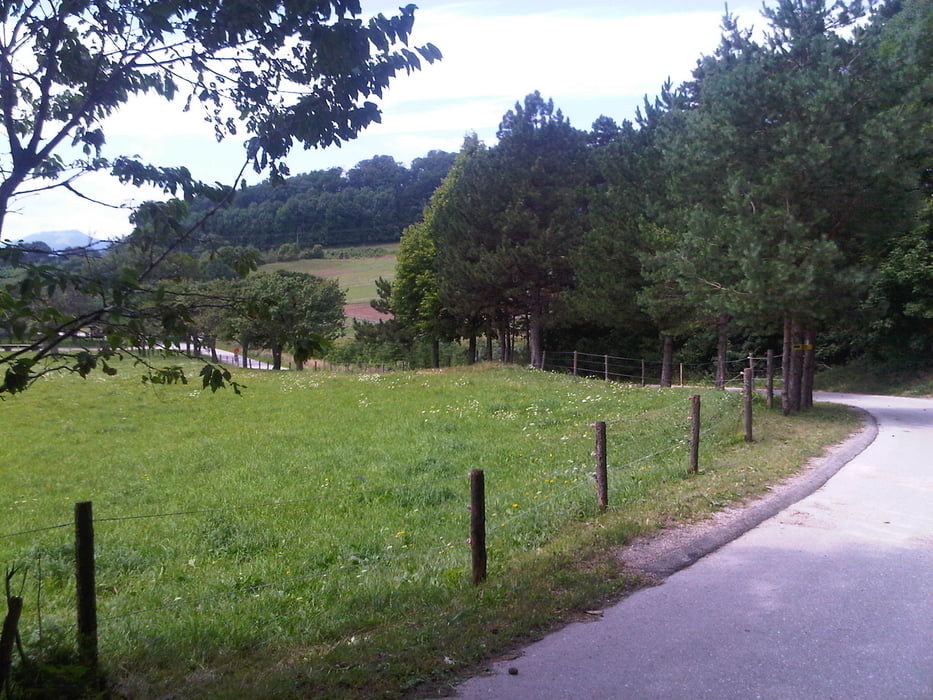
Ausgehend vom Sängerhof in Tribuswinkel geht es über das Helental der Lindkogelstrecke entlang über Schwarzensee ins Triestingtal. Von dort zur Steinbachklamm. Am Ende der asphaltierten Strecke kann man wunderbar in der Jausenstation eine kurze Rast machen. Dann gehts weiter über das Waxeneck nach Berndorf, Großau und Bad Vöslau zum Sängerhof nach Tribuswinkel.
Further information at
http://maps.google.at/maps?hl=de&tab=wl&q=tristinGaleria trasy
Mapa trasy i profil wysokości
Minimum height 213 m
Maximum height 796 m
Komentarze

Autobahn A2 Ausfahrt Baden; abzweigen nach Tribuswinkel, beim Gastaus Sängerhof Parkmöglichkeit.
GPS tracks
Trackpoints-
GPX / Garmin Map Source (gpx) download
-
TCX / Garmin Training Center® (tcx) download
-
CRS / Garmin Training Center® (crs) download
-
Google Earth (kml) download
-
G7ToWin (g7t) download
-
TTQV (trk) download
-
Overlay (ovl) download
-
Fugawi (txt) download
-
Kompass (DAV) Track (tk) download
-
Karta trasy (pdf) download
-
Original file of the author (gpx) download
Add to my favorites
Remove from my favorites
Edit tags
Open track
My score
Rate


