
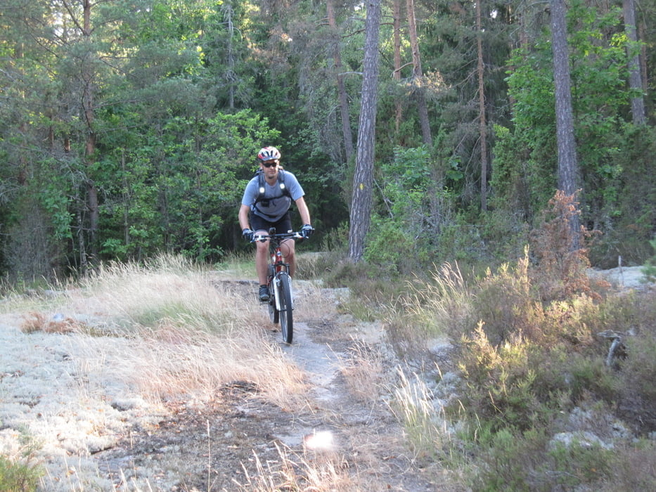

Abwechslungsreiche MTB Tour durch Smalands Wälder. Es geht anfangs durch die Stadt, dann auf Schottersträßchen und schließlich auf super Trails entlang von Seen und durch tiefe Wälder. Der zweite Teil der Tour ist komplett auf Schotter. Das Profil der Tour ist, Smaland-typisch, sehr wellig. Zwischendrin hat man traumhafte Aussicht auf die Seen.
An ein paar Stellen waren fiese Mücken, die einen sofort attackieren, wenn man am Anstieg etwas langsamer wird. Nehmt also sicherheitshalber ein Fläschen Dschungelöl oder so mit.
Further information at
http://www.oskarshamn.se/templates/Page.aspx?id=5941&epslanguage=ENGaleria trasy


Mapa trasy i profil wysokości
Minimum height -1 m
Maximum height 74 m
More about the tour author
|
|
derwolf |
Komentarze

Start und Ziel ist der traumhafte Campingplatz an der Küste Oskarhamns.
GPS tracks
Trackpoints-
GPX / Garmin Map Source (gpx) download
-
TCX / Garmin Training Center® (tcx) download
-
CRS / Garmin Training Center® (crs) download
-
Google Earth (kml) download
-
G7ToWin (g7t) download
-
TTQV (trk) download
-
Overlay (ovl) download
-
Fugawi (txt) download
-
Kompass (DAV) Track (tk) download
-
Karta trasy (pdf) download
-
Original file of the author (gpx) download
More about the tour author
|
|
derwolf |
Add to my favorites
Remove from my favorites
Edit tags
Open track
My score
Rate