


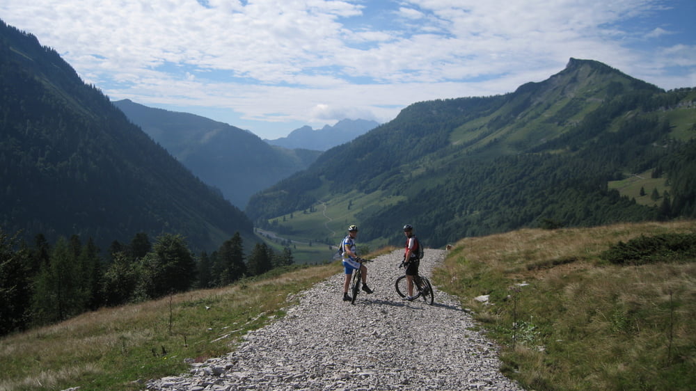
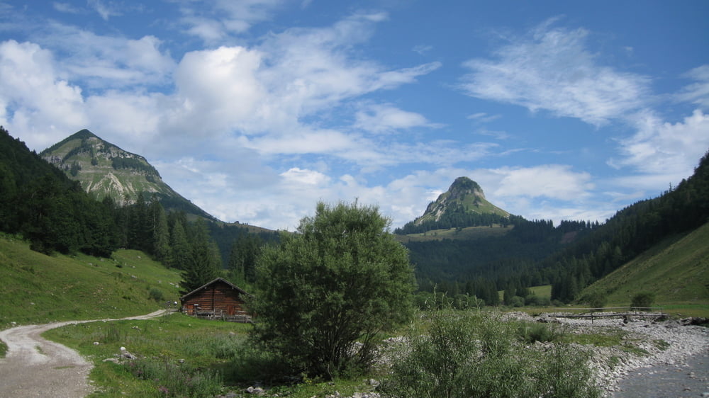
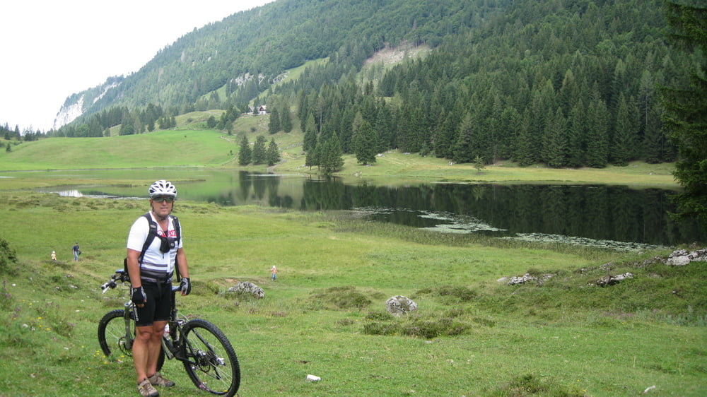
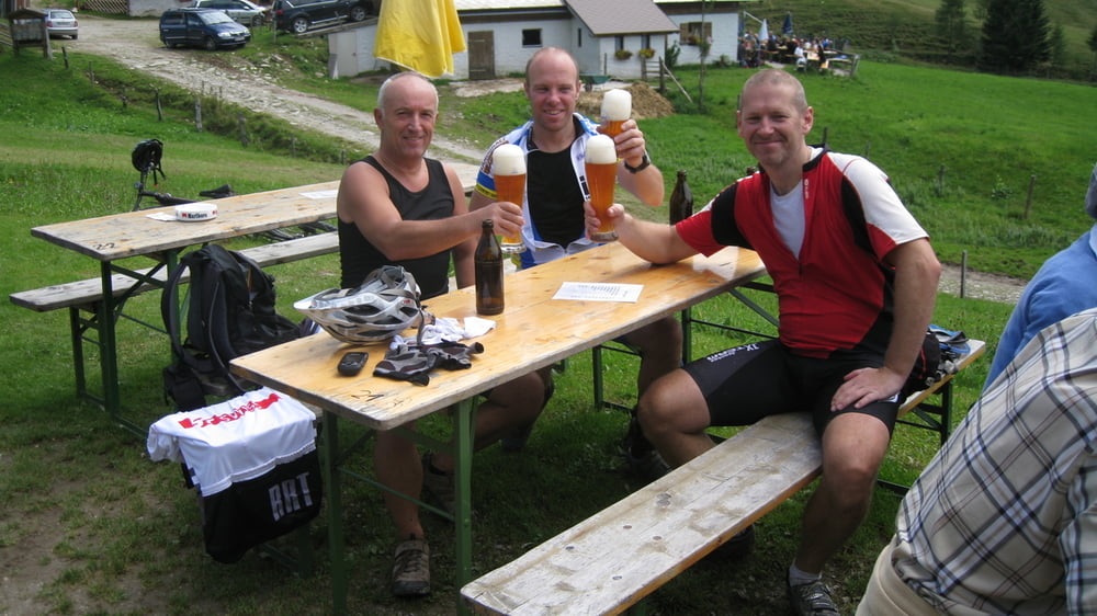
Ausgangspunkt der Tour ist Hintersee.Gleich nach dem Gemeindeamt rechts bis zum Wald dort ist ein grosser Parkplatz vorhanden.Die ersten 5 Km auf Asphalt sind gleich zum Warmfahren,ab den Parkplatz zur Genneralm gehts auf einer steilen Forststraße zur Alm.Oben angelangt kann man entweder links oder wie wir geradeaus der Forststraße folgen bis später ein schöner Trail ( Wenns vorher nicht geregnet hat ) ins Akersbachtal einmündet.Weiter bergab bis Pichl,dann rechts stetig steil bergauf zum Seewaldsee ( Einkehr) Nach Hinterbichl rollen wir recht rasant auf Asphalt.Die Tauglbodenstraße entlang zuerst leicht dann sehr steil werdend bis zum Gasthaus Grundbichl.Auch hier gibt es wieder 2 Strecken entweder links oder hinter den Gasthaus rechts (haben wir genommen) hinauf zur Bergalm.( Einkehr) Nach der Bergalm geht ein kurzer Trail bis zu einer Forststraße die uns zum Ausgangspunkt zurückbringt.Sehr schöne aber anstrengende Tour!
Galeria trasy
Mapa trasy i profil wysokości
Minimum height 582 m
Maximum height 1274 m
More about the tour author
|
|
rudolfo |
Komentarze

A1 Westautobahn bis Thalgau-B158 Hof-Faistenau-Hintersee
GPS tracks
Trackpoints-
GPX / Garmin Map Source (gpx) download
-
TCX / Garmin Training Center® (tcx) download
-
CRS / Garmin Training Center® (crs) download
-
Google Earth (kml) download
-
G7ToWin (g7t) download
-
TTQV (trk) download
-
Overlay (ovl) download
-
Fugawi (txt) download
-
Kompass (DAV) Track (tk) download
-
Karta trasy (pdf) download
-
Original file of the author (gpx) download
More about the tour author
|
|
rudolfo |
Add to my favorites
Remove from my favorites
Edit tags
Open track
My score
Rate