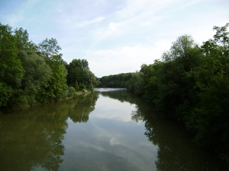
Start und Ziel in Dettingen. In Illertissen gibt es eine schöne Bleibe! Über Kirchberg fahren wir in den Wald. Dort über den HW4 weiter. Die Iller queren wir und dann geht es nach Illertissen. Dort wieder hinauf und auf dem Höhenweg nach Illereichen. Bald sind wir wieder bei der Germania und können den Gästen unsere Erlebnisse berichten.
Pause zusätzlich 1h
Heute waren ideale Radlerbedingungen
Es gibt schöne Singletrails kurz nach der Bleibe in Illertissen.
Further information at
http://www.schenie.deGaleria trasy
Mapa trasy i profil wysokości
Minimum height 509 m
Maximum height 610 m
Komentarze

Wir fahren über den HW4 der von Würzburg an den Bodensee ausgeschildert nach Norden bis Regglisweiler, von dort wieder asphaltierte Wege bis Illertissen.
GPS tracks
Trackpoints-
GPX / Garmin Map Source (gpx) download
-
TCX / Garmin Training Center® (tcx) download
-
CRS / Garmin Training Center® (crs) download
-
Google Earth (kml) download
-
G7ToWin (g7t) download
-
TTQV (trk) download
-
Overlay (ovl) download
-
Fugawi (txt) download
-
Kompass (DAV) Track (tk) download
-
Karta trasy (pdf) download
-
Original file of the author (gpx) download
Add to my favorites
Remove from my favorites
Edit tags
Open track
My score
Rate


