
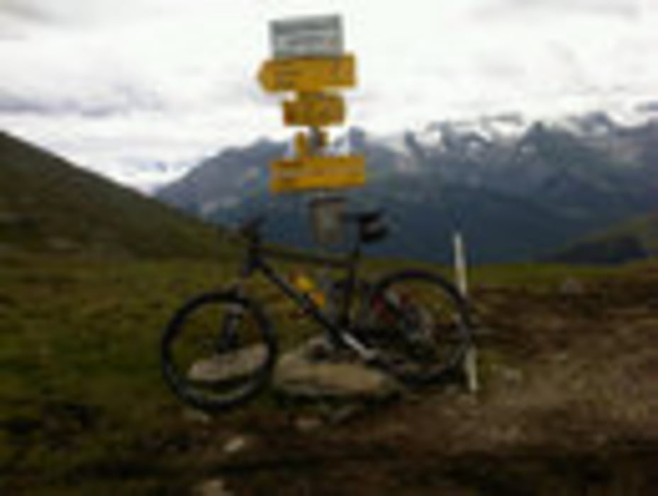

schöne, aber lange Tour. Beginnend von Schwaz über Weerberg, Innerberg zur Weidener Hütte (bewirtschaftet). Gut fahrbarer Anstieg zum Gaiseljoch (2292). Von hier geht's nur mehr bergab (kurzer Singletrail, dann Forststrasse bis nach Vorderlanersbach). Weiter geht's über Finkenberg, Mayrhofen, Zell, Strass (Radwege) zurück nach Schwaz.
Mapa trasy i profil wysokości
Minimum height 552 m
Maximum height 2322 m
More about the tour author

|
tonfreund |
Komentarze
von Schwaz: auf der Bundesstraße nach Weerberg.
GPS tracks
Trackpoints-
GPX / Garmin Map Source (gpx) download
-
TCX / Garmin Training Center® (tcx) download
-
CRS / Garmin Training Center® (crs) download
-
Google Earth (kml) download
-
G7ToWin (g7t) download
-
TTQV (trk) download
-
Overlay (ovl) download
-
Fugawi (txt) download
-
Kompass (DAV) Track (tk) download
-
Karta trasy (pdf) download
-
Original file of the author (gpx) download
More about the tour author
|
|
tonfreund |
Add to my favorites
Remove from my favorites
Edit tags
Open track
My score
Rate
Tour
Bin die Tour am 20. 8. gefahren. Tolle tour, besonders die Abfahrt nach dem Joch. Es sollte vielleicht noch gesagt werden, dass man bei der langen Ausfahrt aus dem Zillertal meist Gegenwind hat.
Stevus