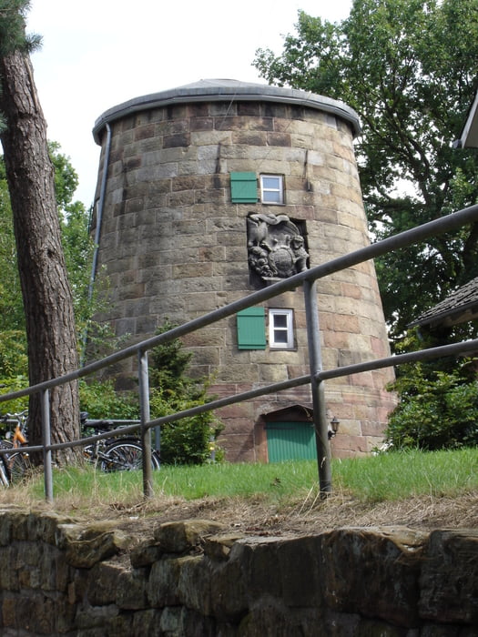
Diese Höhenwanderung führt durch Wohngebiete in die Bentheimer Berge. Auf schönen Wanderwegen geht es über einen Kammweg und bietet schöne Ausblicke. Diese Wanderung nennt sich Kammrundweg und ist in der Wanderkarte von Bad Bentheim mit einer 7 gekennzeichnet.
Galeria trasy
Mapa trasy i profil wysokości
Minimum height 24 m
Maximum height 103 m
Komentarze

Parkmöglichkeit besteht in der Tiefgarage die sich im Ortskern von Bad Bentheim befindet.
GPS tracks
Trackpoints-
GPX / Garmin Map Source (gpx) download
-
TCX / Garmin Training Center® (tcx) download
-
CRS / Garmin Training Center® (crs) download
-
Google Earth (kml) download
-
G7ToWin (g7t) download
-
TTQV (trk) download
-
Overlay (ovl) download
-
Fugawi (txt) download
-
Kompass (DAV) Track (tk) download
-
Karta trasy (pdf) download
-
Original file of the author (gpx) download
Add to my favorites
Remove from my favorites
Edit tags
Open track
My score
Rate


