


Diese relativ leichte Rundwegstrecke ist ideal zum Kennenlernen der Berge und Täler rund um Cómpeta.
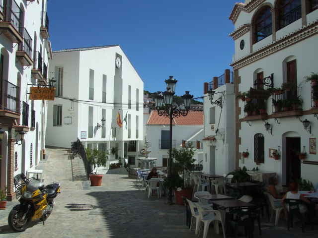
Die Wanderung führt durch zwei der idyllischsten Dörfer dieser Region: Árchez und Canillas. Der schönste Teil der Strecke geht entlang des Flusses Cájula
Die Wanderung führt durch zwei der idyllischsten Dörfer dieser Region: Árchez und Canillas. Der schönste Teil der Strecke geht entlang des Flusses Cájula
Further information at
http://www.ferienhaus-andalusien.com/wandern.htmlGaleria trasy
Mapa trasy i profil wysokości
Minimum height 418 m
Maximum height 654 m
More about the tour author

|
U8859181 |
Komentarze

Sie fahren vom Flughafen die N340 um Malaga in Richtung Motril. Von der Autobahn nehmen Sie die Abfahrt Algarrobo. Dort biegen Sie links ab in die Berge, Richtung Algarrobo. Von dort aus gelangen Sie über Sayalonga nach Cómpeta. Sie umfahren Competa in Richtung Canillas de Albaida. Nach ca. 1 km sehen Sie links ein Haus mit der Aufschrift "Bodega Jarel". Dort fahren Sie links und nach ca. 100m auf der rechten Seite sehen Sie die Einfahrt von Finca Maroma. Fahrzeit: ca. 1 Std.
GPS tracks
Trackpoints-
GPX / Garmin Map Source (gpx) download
-
TCX / Garmin Training Center® (tcx) download
-
CRS / Garmin Training Center® (crs) download
-
Google Earth (kml) download
-
G7ToWin (g7t) download
-
TTQV (trk) download
-
Overlay (ovl) download
-
Fugawi (txt) download
-
Kompass (DAV) Track (tk) download
-
Karta trasy (pdf) download
-
Original file of the author (gpx) download
More about the tour author
|
|
U8859181 |
Add to my favorites
Remove from my favorites
Edit tags
Open track
My score
Rate