Login

Zapomniałeś swój login?

Cookies have to be accepted!
Your browser's cookie functionality is disabled. Please enable this functionality.

Not a member yet?

Register now
Login

Available for registred users only

Log in to use this feature.

Zapomniałeś swój login?

Cookies have to be accepted!
Your browser's cookie functionality is disabled. Please enable this functionality.

Not a member yet?

Register now
Filter
Kategorie
Advanced filters
  • Długość (km)
  • Wysokość
Zapisz filtr Reset filter

TrackRank

QRCode

Technical data

Długość15,5 km Wysokość84 m Way down106 m Czas trwania03:30 h:m Data25.08.2010
Oceny Author User Krajobraz Czynnik zadowolenia Kondycja Technika

Statystyka

649 Widoki 1 Ocena 103 Downloads / Pliki do pobrania 4.00 Przeciętnie
Rate
  • Karta trasy
  • Dojazd
  • Downloads / Pliki do pobrania

Bei dieser Wanderung geht man auf Forst- und Wanderwegen durch den Bentheimer Wald und auf dem Kammweg in den Bentheimern Bergen sowie durch Wohngebiete von Schüttdorf.
Bei dieser Wanderung geht man auf den Wanderwegen die in der Wanderkarte von Bad Bentheim zum großen Teil mit einem „T“ und einer 19 gekennzeichnet sind.
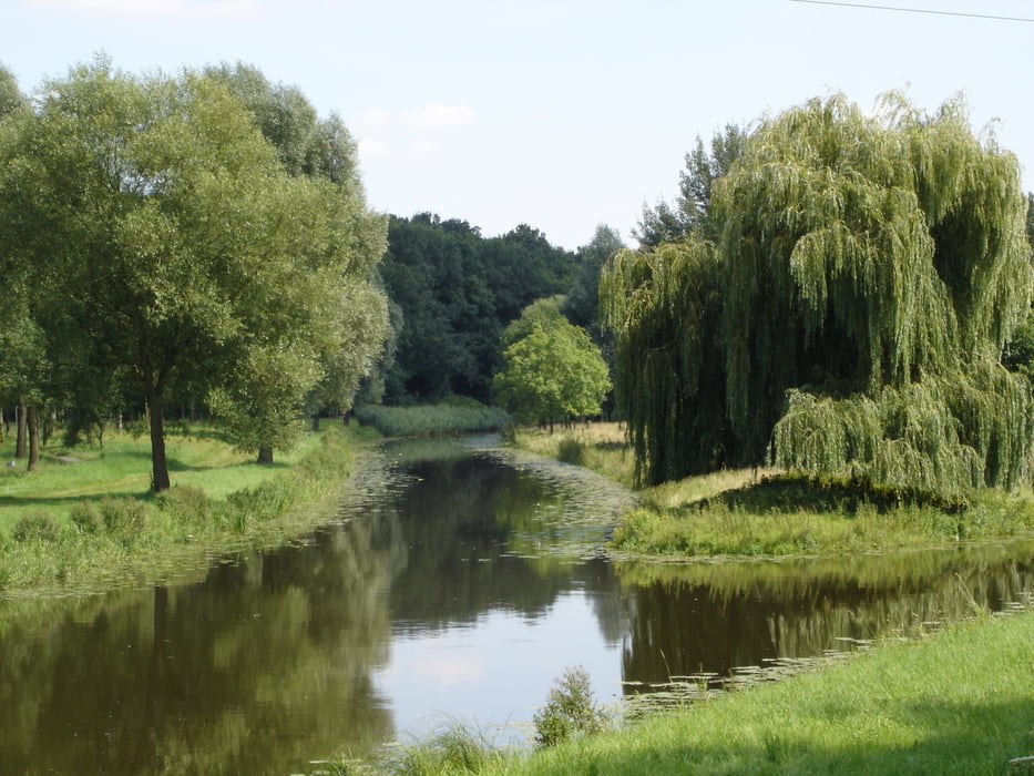


Galeria trasy

Mapa trasy i profil wysokości

  • Open Street Map
  • Google
Minimum height -10 m Maximum height 103 m Widok szczegółowy

More about the tour author

rödivomsee
Member since 2008

Send private message

Komentarze

Parkplatz Bentheimer Mineral Therme am Bade 1

GPS tracks

Trackpoints
  • GPX / Garmin Map Source (gpx) download
  • TCX / Garmin Training Center® (tcx) download
  • CRS / Garmin Training Center® (crs) download
  • Google Earth (kml) download
  • G7ToWin (g7t) download
  • TTQV (trk) download
  • Overlay (ovl) download
  • Fugawi (txt) download
  • Kompass (DAV) Track (tk) download
  • Karta trasy (pdf) download
  • Original file of the author (gpx) download

More about the tour author

rödivomsee
Member since 2008

Send private message
Share track
Add to my favorites
Remove from my favorites
Edit tags
My score
Rate
Trasa: Rundwanderung Schüttdorf
Rodzaj: Wędrówki
Długość: 15,5 km
Evaluated on:
Czas trwania:
Day(s)
Hour(s)
Minute(s)
Ocena: Krajobraz Czynnik zadowolenia Kondycja Technika