Login

Zapomniałeś swój login?

Cookies have to be accepted!
Your browser's cookie functionality is disabled. Please enable this functionality.

Not a member yet?

Register now
Login

Available for registred users only

Log in to use this feature.

Zapomniałeś swój login?

Cookies have to be accepted!
Your browser's cookie functionality is disabled. Please enable this functionality.

Not a member yet?

Register now
Filter
Kategorie
Advanced filters
  • Długość (km)
  • Wysokość
Zapisz filtr Reset filter

TrackRank

QRCode

Technical data

Długość116,8 km Wysokość566 m Way down697 m Czas trwania06:20 h:m Data19.02.2007
Oceny Author User Krajobraz Czynnik zadowolenia Kondycja Technika

Statystyka

6483 Widoki 3 Oceny 345 Downloads / Pliki do pobrania 4.67 Przeciętnie
Rate
  • Karta trasy
  • Dojazd
  • Downloads / Pliki do pobrania

Sachsen in Richtung Ost-West oder umgekehrt zu queren, bedeutet fast immer Tälerschneiden. Will man von Dresden nach Leipzig muss man das Elbtal verlassen (hier über das Weisseritz- und Wiederitztal) und das Triebischtal schneiden. Dann bewegt man sich im Muldental bis vor die Tore Leipzigs. Der Wind möchte auch noch mitspielen. ;-)

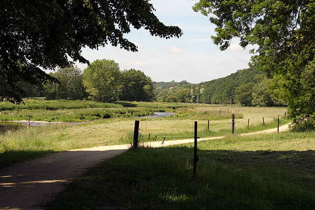
Als Wege wurden Radwege (Freital-Kesselsdorf, Muldentalradweg) und wenig befahrene Straßen genutzt. Nur vor den Toren Leipzigs wird die etwas nervige Straße von Grimma genutzt.

Mit Start in Dresden Mitte verlängert sich die Tour um 12 km und das Höhenkonto wächst um 100 Hm.

Viel Spaß!


Anmerkung 2012

Eine Variante mit Radwegen und Nebenstraßen ab Grimma www.gps-tour.info/de/touren/detail.69141.html

Galeria trasy

Mapa trasy i profil wysokości

  • Open Street Map
  • Google
Minimum height 106 m Maximum height 322 m Widok szczegółowy

More about the tour author

wolfgang.jank
Member since 2007

Send private message

Komentarze

highzoel on 17.08.2011

Mulderadweg

Sind diese Tour von Leipzig nach Dresden gefahren - gerade der Mulderadweg hat richtig Spaß gemacht - eine echte Empfehlung.

Freut mich !
Von beiden Richtungen jeweils ab Dresden und Leipzig HBF befahrbar.

GPS tracks

Trackpoints
  • GPX / Garmin Map Source (gpx) download
  • TCX / Garmin Training Center® (tcx) download
  • CRS / Garmin Training Center® (crs) download
  • Google Earth (kml) download
  • G7ToWin (g7t) download
  • TTQV (trk) download
  • Overlay (ovl) download
  • Fugawi (txt) download
  • Kompass (DAV) Track (tk) download
  • Karta trasy (pdf) download
  • Original file of the author (g7t) download

More about the tour author

wolfgang.jank
Member since 2007

Send private message
Share track
Add to my favorites
Remove from my favorites
Edit tags
My score
Rate
Trasa: (Dresden - ) Freital - Nossen - Döbeln - Leipzig
Rodzaj: Rower trekkingowy
Długość: 116,8 km
Evaluated on:
Czas trwania:
Day(s)
Hour(s)
Minute(s)
Ocena: Krajobraz Czynnik zadowolenia Kondycja Technika