
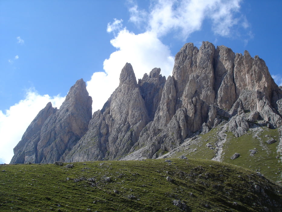

Gestartet wird die Tour in St.Christina bei der Seilbahn Col Raiser. Der Sass Rigais steht im nördl. Teil der Dolomiten und ist eingerahmt von der Langkofel -Sella -und Geislergruppe.
Durch seine Lage und Höhe ist er ein beliebter Bergsteigergipfel, der auch bei nicht so sportlichen Klettersteiggehern beliebt ist und eine sehr schöne Rundumsicht bietet.
Der "Normalanstieg" verlangt an einigen Stellen Trittsicherheit und Schwindelfreiheit. Nach den ersten versicherten Stellen laden grosse Bänder zum Verschnaufen ein. Erst im oberen Drittel wird der Fels wieder steiler und es verlangt nocheinmal die volle Konzentration. Für den Abstieg wurde die etwas schwierigere Ostroute gewählt.
Galeria trasy


Mapa trasy i profil wysokości
Minimum height 1515 m
Maximum height 3027 m
More about the tour author

|
rema11 |
Komentarze

GPS tracks
Trackpoints-
GPX / Garmin Map Source (gpx) download
-
TCX / Garmin Training Center® (tcx) download
-
CRS / Garmin Training Center® (crs) download
-
Google Earth (kml) download
-
G7ToWin (g7t) download
-
TTQV (trk) download
-
Overlay (ovl) download
-
Fugawi (txt) download
-
Kompass (DAV) Track (tk) download
-
Karta trasy (pdf) download
-
Original file of the author (gpx) download
More about the tour author
|
|
rema11 |
Add to my favorites
Remove from my favorites
Edit tags
Open track
My score
Rate