Login

Zapomniałeś swój login?

Cookies have to be accepted!
Your browser's cookie functionality is disabled. Please enable this functionality.

Not a member yet?

Register now
Login

Available for registred users only

Log in to use this feature.

Zapomniałeś swój login?

Cookies have to be accepted!
Your browser's cookie functionality is disabled. Please enable this functionality.

Not a member yet?

Register now
Filter
Kategorie
Advanced filters
  • Długość (km)
  • Wysokość
Zapisz filtr Reset filter

TrackRank

QRCode

Technical data

Długość27,9 km Wysokość300 m Way down307 m Czas trwania02:00 h:m Data28.08.2010
Oceny Author User Krajobraz Czynnik zadowolenia Kondycja Technika

Statystyka

1594 Widoki 1 Ocena 81 Downloads / Pliki do pobrania 3.00 Przeciętnie
Rate
  • Karta trasy
  • Dojazd
  • Downloads / Pliki do pobrania

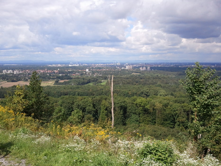
Von Südweststadt Karlsruhe Richtung Oberwald. Durch Dammerstock an der Alb entlang nach Ettlingen. Den Berg hoch zum Bismarckturm - an jedem 3. Sonntag von 11.00 - 17.00 Uhr im Sommer geöffnet. Schöne Aussicht über Ettlingen und Karlsruhe. Am Bergkamm des Wattkopf Richtung Grünwettersbach und dann bergab zur Hedwigsquelle. Durch Oberwald zurück nach Karlsruhe.

Galeria trasy

Mapa trasy i profil wysokości

  • Open Street Map
  • Google
Minimum height 112 m Maximum height 332 m Widok szczegółowy

More about the tour author

rei-ha
Member since 2010

Send private message

Komentarze

GPS tracks

Trackpoints
  • GPX / Garmin Map Source (gpx) download
  • TCX / Garmin Training Center® (tcx) download
  • CRS / Garmin Training Center® (crs) download
  • Google Earth (kml) download
  • G7ToWin (g7t) download
  • TTQV (trk) download
  • Overlay (ovl) download
  • Fugawi (txt) download
  • Kompass (DAV) Track (tk) download
  • Karta trasy (pdf) download
  • Original file of the author (gpx) download

More about the tour author

rei-ha
Member since 2010

Send private message
Share track
Add to my favorites
Remove from my favorites
Edit tags
My score
Rate
Trasa: Karlsruhe-Oberwald-Alb-Ettlingen-Wattkopf-Hedwigsquelle-Oberwald
Rodzaj: Rower górski (MTB)
Długość: 27,9 km
Evaluated on:
Czas trwania:
Day(s)
Hour(s)
Minute(s)
Ocena: Krajobraz Czynnik zadowolenia Kondycja Technika