


Von Hofheim aus kann man auch in Richtung Niedernhausen schöne Runden drehen, und die Wege und Trails sind mal anders als Richtung Hochtaunus.
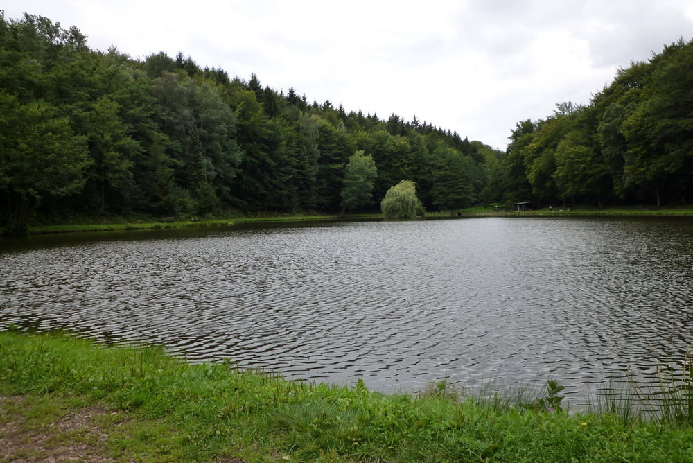
Es ging von Hofheim aus in Richtung Bahaitempel, von da weiter nach Wildsachsen. Durch schöne Waldstücke und Felder gings weiter bis ins Theißtal, der kleine See dort ist echt schön. Nach kleiner Ruhepause dann hoch zur Hohen Kanzel, dann Abfahrt nach Niederhausen. Bis Oberjosbach gehts auf der Strasse, dann auf dem R8 am Kippel vorbei nach Eppstein zurück. Über den Kaisertempel gings dann zurück nach Hofheim.
Galeria trasy
Mapa trasy i profil wysokości
Minimum height 102 m
Maximum height 591 m
More about the tour author

|
Karsten1970 |
Komentarze

GPS tracks
Trackpoints-
GPX / Garmin Map Source (gpx) download
-
TCX / Garmin Training Center® (tcx) download
-
CRS / Garmin Training Center® (crs) download
-
Google Earth (kml) download
-
G7ToWin (g7t) download
-
TTQV (trk) download
-
Overlay (ovl) download
-
Fugawi (txt) download
-
Kompass (DAV) Track (tk) download
-
Karta trasy (pdf) download
-
Original file of the author (gpx) download
More about the tour author
|
|
Karsten1970 |
Add to my favorites
Remove from my favorites
Edit tags
Open track
My score
Rate