


Es scheint wieder die Sonne. Allerdings sagt der Wetterbericht am Nachmitteg Gewitter voraus.
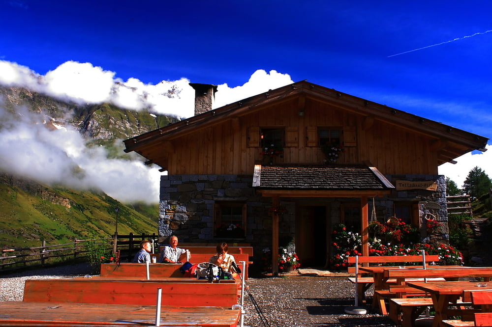
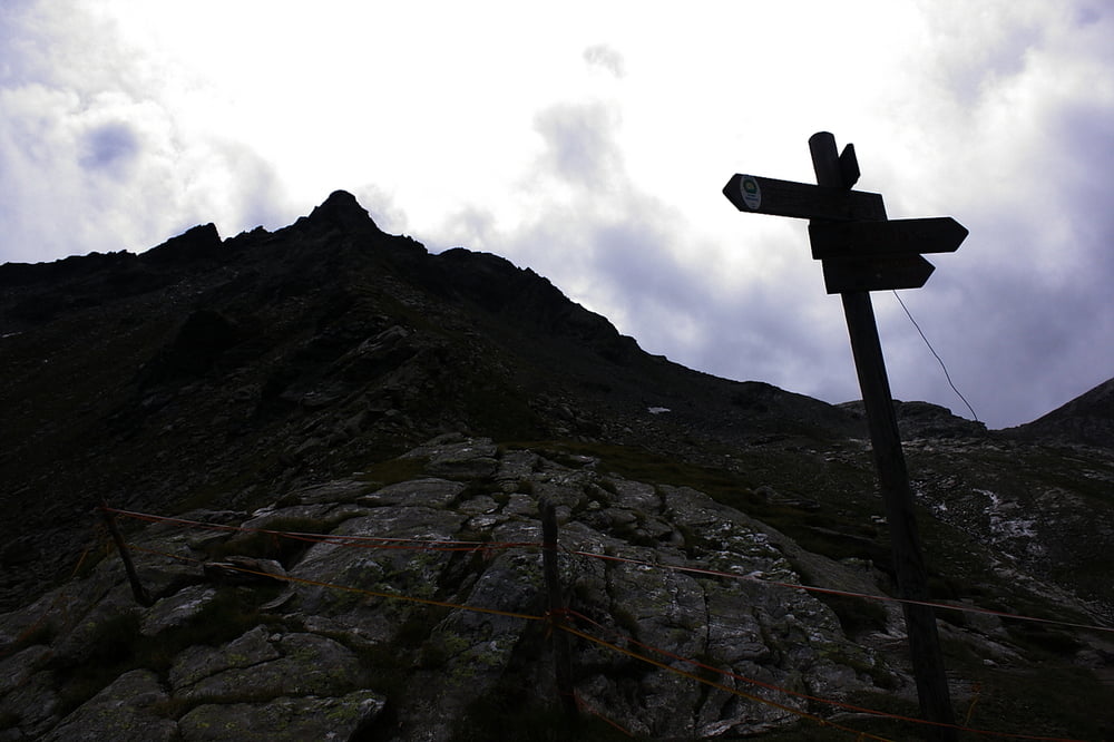
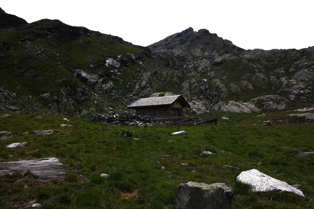
Start der heutigen Tour ist wieder der Parkplatz in Pfelders. Vom Parkplatz aus auf dem Weg Nr. 6 zur Faltschnalalm (bewirtschaftet) folgen. Ein schneller heißer Tee und schon geht es weiter in das Faltschnaltal. Durch den Talboden des Faltschnaltales in ca. 3 Std. zuletzt nach rechts empor zum Faltschnaljöchl. Von hier aus könnte man auch noch einen Abstecher zum Spronser Joch vornehmen und einen Blick auf die Seen werfen. (Tour folgt noch). Über einen sehr schönen Steig (Nr. 42) am Tschinglsbach entlang vorbei an der Bockhüttalm hinaus aus dem Lazinser Tal zur Lazinser Hütte und danach wieder nach Pfelders.
Insgesamt eine unkritische Wanderung in schöner Landschaft.
Galeria trasy
Mapa trasy i profil wysokości
Minimum height 1552 m
Maximum height 2416 m
More about the tour author
|
|
1897linden |
Komentarze

In Moos Richtung Pfelders zum Großparkplatz.
GPS tracks
Trackpoints-
GPX / Garmin Map Source (gpx) download
-
TCX / Garmin Training Center® (tcx) download
-
CRS / Garmin Training Center® (crs) download
-
Google Earth (kml) download
-
G7ToWin (g7t) download
-
TTQV (trk) download
-
Overlay (ovl) download
-
Fugawi (txt) download
-
Kompass (DAV) Track (tk) download
-
Karta trasy (pdf) download
-
Original file of the author (gpx) download
More about the tour author
|
|
1897linden |
Add to my favorites
Remove from my favorites
Edit tags
Open track
My score
Rate