Login

Zapomniałeś swój login?

Cookies have to be accepted!
Your browser's cookie functionality is disabled. Please enable this functionality.

Not a member yet?

Register now
Login

Available for registred users only

Log in to use this feature.

Zapomniałeś swój login?

Cookies have to be accepted!
Your browser's cookie functionality is disabled. Please enable this functionality.

Not a member yet?

Register now
Filter
Kategorie
Advanced filters
  • Długość (km)
  • Wysokość
Zapisz filtr Reset filter

TrackRank

QRCode

Technical data

Długość73,7 km Wysokość1960 m Way down1935 m Czas trwania05:00 h:m Data29.08.2010
Oceny Author Krajobraz Czynnik zadowolenia Kondycja Technika

Statystyka

783 Widoki Oceny 132 Downloads / Pliki do pobrania Przeciętnie
Rate
  • Karta trasy
  • Dojazd
  • Downloads / Pliki do pobrania

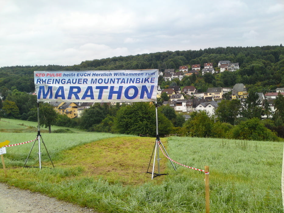
Singletraillastige Tour durch den Rheingau mit sehr wenig Asphalt und manch schöner Aussicht.
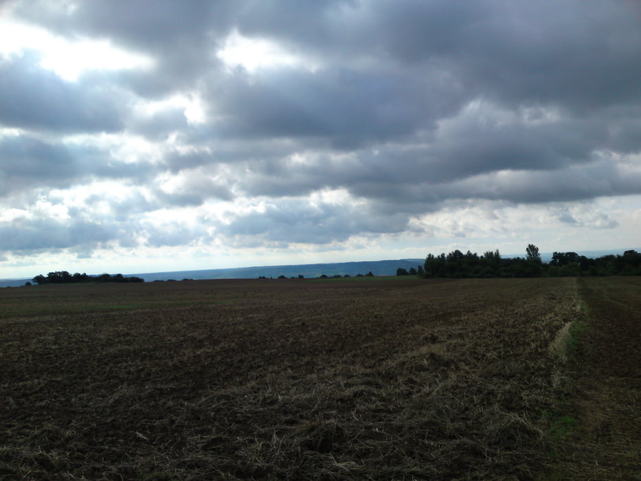
Galeria trasy

Mapa trasy i profil wysokości

  • Open Street Map
  • Google
Minimum height 212 m Maximum height 631 m Widok szczegółowy

More about the tour author

dib

Komentarze

Mit dem Auto nach Aulhausen oder mit dem Zug nach Rüdesheim und dann per Velo nach Auli.

GPS tracks

Trackpoints
  • GPX / Garmin Map Source (gpx) download
  • TCX / Garmin Training Center® (tcx) download
  • CRS / Garmin Training Center® (crs) download
  • Google Earth (kml) download
  • G7ToWin (g7t) download
  • TTQV (trk) download
  • Overlay (ovl) download
  • Fugawi (txt) download
  • Kompass (DAV) Track (tk) download
  • Karta trasy (pdf) download
  • Original file of the author (gpx) download

More about the tour author

dib

Share track
Add to my favorites
Remove from my favorites
Edit tags
My score
Rate
Trasa: Rheingau Marathon 2010
Rodzaj: Rower górski (MTB)
Długość: 73,7 km
Evaluated on:
Czas trwania:
Day(s)
Hour(s)
Minute(s)
Ocena: Krajobraz Czynnik zadowolenia Kondycja Technika