Login

Zapomniałeś swój login?

Cookies have to be accepted!
Your browser's cookie functionality is disabled. Please enable this functionality.

Not a member yet?

Register now
Login

Available for registred users only

Log in to use this feature.

Zapomniałeś swój login?

Cookies have to be accepted!
Your browser's cookie functionality is disabled. Please enable this functionality.

Not a member yet?

Register now
Filter
Kategorie
Advanced filters
  • Długość (km)
  • Wysokość
Zapisz filtr Reset filter

TrackRank

QRCode

Technical data

Długość53,1 km Wysokość1041 m Way down1076 m Czas trwania04:30 h:m Data04.09.2010
Oceny Author Krajobraz Czynnik zadowolenia Kondycja Technika

Statystyka

1231 Widoki 1 Ocena 133 Downloads / Pliki do pobrania 4.00 Przeciętnie
Rate
  • Karta trasy
  • Dojazd
  • Downloads / Pliki do pobrania

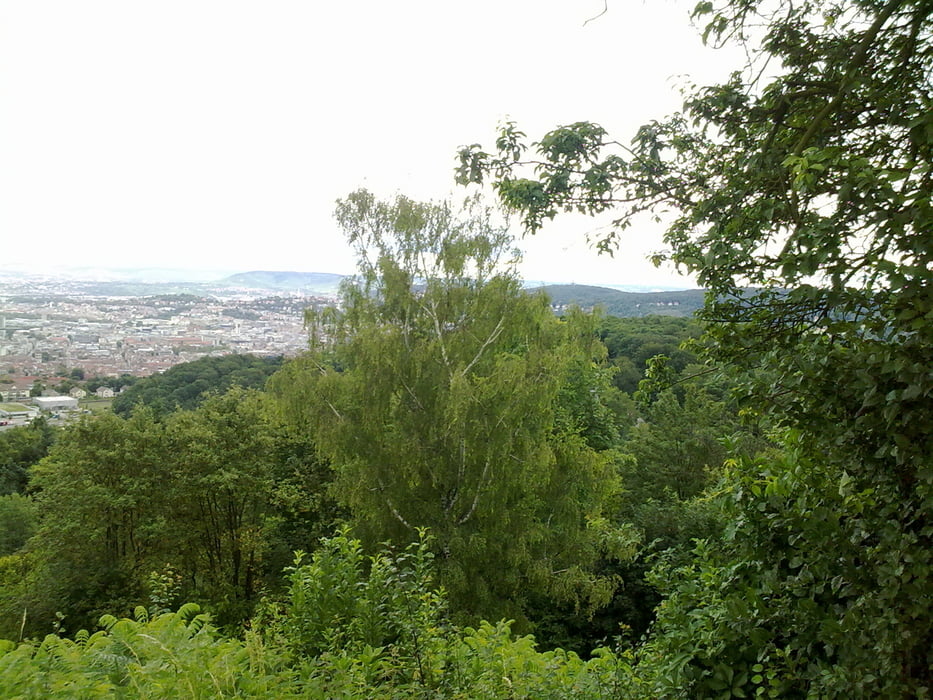
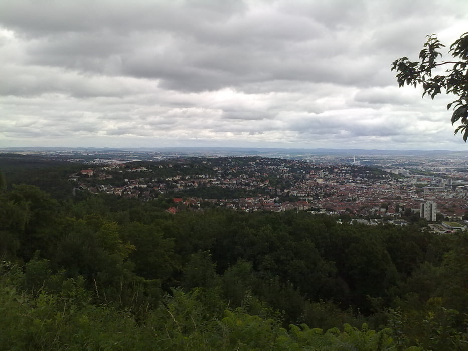
Endlich habe ich es geschafft, eine halbwegs sinnvolle Rundtour um Stuttgart mit über 1000 Hm hinzubekommen. Die Tour verläuft auf breiten Wald- und Forstwegen, kann also auch mit einem Trekkingbike gefahren werden.

Startpunkt ist Stuttgart Ost (Villa Berg), man kann natürlich auch unterwegs einsteigen.


Galeria trasy

Mapa trasy i profil wysokości

  • Open Street Map
  • Google
Minimum height 232 m Maximum height 505 m Widok szczegółowy

More about the tour author

Ringostar
Member since 2008

Send private message

Komentarze

wolkoll on 19.11.2011

Stuttgart fast alpin

Ich muss schon sagen, eine echt tolle Tour!
Danke für´s zeigen, gerade für Stuttgarter Neuankömmlinge kann ich die Tour nur empfehlen, man sieht Stuttgart von fast jeder Seite!
Einziges Manko:
Es werden keine Trails gefahren, obwohl es doch so viele gibt...

GPS tracks

Trackpoints
  • GPX / Garmin Map Source (gpx) download
  • TCX / Garmin Training Center® (tcx) download
  • CRS / Garmin Training Center® (crs) download
  • Google Earth (kml) download
  • G7ToWin (g7t) download
  • TTQV (trk) download
  • Overlay (ovl) download
  • Fugawi (txt) download
  • Kompass (DAV) Track (tk) download
  • Karta trasy (pdf) download
  • Original file of the author (gpx) download

More about the tour author

Ringostar
Member since 2008

Send private message
Share track
Add to my favorites
Remove from my favorites
Edit tags
My score
Rate
Trasa: Stuttgart - fast alpin
Rodzaj: Rower górski (MTB)
Długość: 53,1 km
Evaluated on:
Czas trwania:
Day(s)
Hour(s)
Minute(s)
Ocena: Krajobraz Czynnik zadowolenia Kondycja Technika