
")

Nach unserem Urlaub noch eine Rund zum ausrollen.
Der Anfang aus der Staadt raus ist für mich der Standardweg um möglichst wenig Verkehr zu haben. Ab der Wasserskistrecke wollte ich dann etwas Strecke machen und habe hier etwas Asphalt unter die Räder genommen.
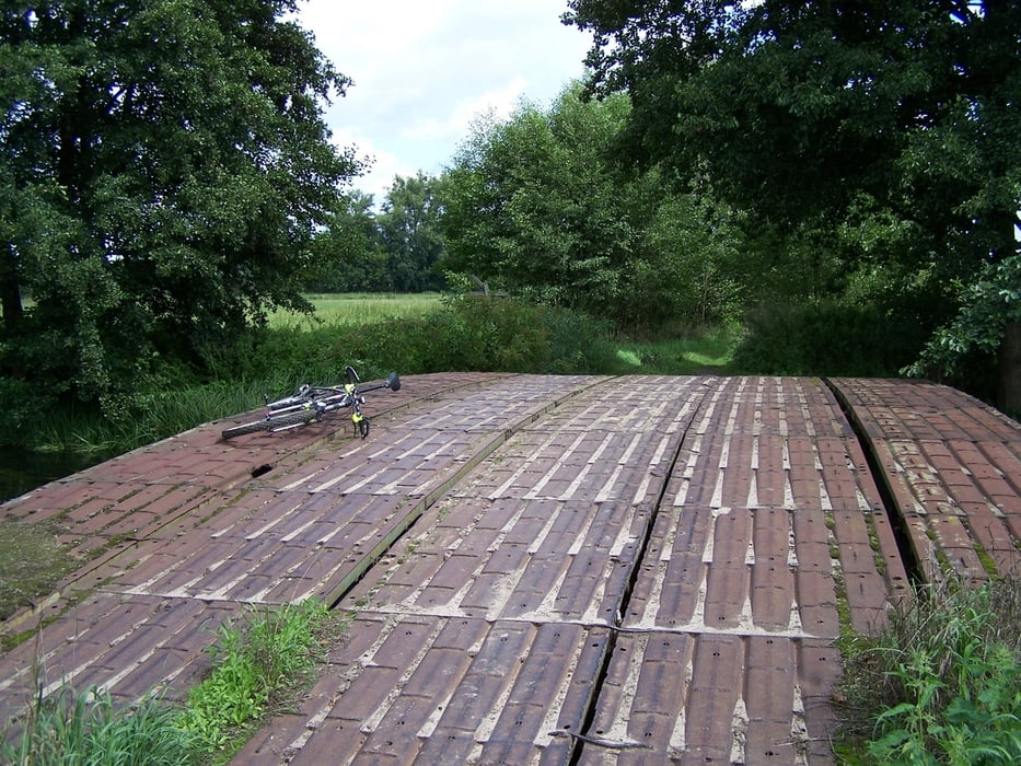
Nachdem ich Ludwigsfelde hinter mir hatte war ich erst mal mit dem Asphalt fertig. Ich hatte wieder Lust auf Feldwege mit mehr oder weniger viel Sand.
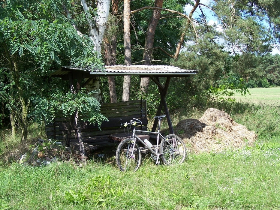
Nach dem Wendepunkt nahm ich einen Mix aus Asphalt, Sand und Pflaster unter die Räder. Das ist sicher nich für jeden Geschmack etwas, aber Abwechslung muß sein.
Viel Spass
Further information at
http://de.wikipedia.org/wiki/TrebbinGaleria trasy


Mapa trasy i profil wysokości
Minimum height 32 m
Maximum height 53 m
More about the tour author
|
|
Pheinz |
Komentarze

Von Zuhause mit dem Rad.
GPS tracks
Trackpoints-
GPX / Garmin Map Source (gpx) download
-
TCX / Garmin Training Center® (tcx) download
-
CRS / Garmin Training Center® (crs) download
-
Google Earth (kml) download
-
G7ToWin (g7t) download
-
TTQV (trk) download
-
Overlay (ovl) download
-
Fugawi (txt) download
-
Kompass (DAV) Track (tk) download
-
Karta trasy (pdf) download
-
Original file of the author (gpx) download
More about the tour author
|
|
Pheinz |
Add to my favorites
Remove from my favorites
Edit tags
Open track
My score
Rate