
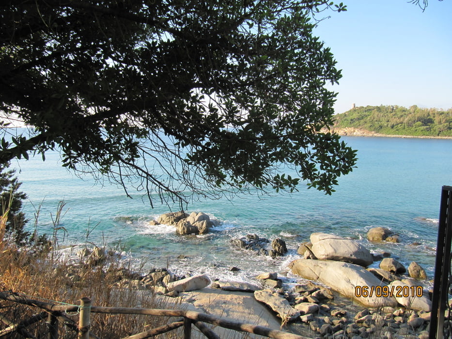

Unser Ausgangspunkt war Camping Telis in Arbatax:
Die Tour führt über gute Straßen ins Landesinnere. Die Beschilderung Kühe sollte man beachten. Wo Kuh draufsteht ist auch meistens Kuh da :-). Die Straßen sind überwiegend gut bis sehr gut und bieten einen ausgezeichneten Grip.
Further information at
http://www.camping.it/germany/sardegna/telis/Galeria trasy


Mapa trasy i profil wysokości
Minimum height -33 m
Maximum height 1114 m
More about the tour author
|
|
Genoveva |
Komentarze

Unser Ausgangspunkt war Camping Telis in Arbatax: Terassenförmig angelegt, sehr schöne neue Sanitäranlagen, neuer Pool, gut sortierter Laden, freundliche Rezeption, sehr gutes, bezahlbares Restaurant, viele Motorradfahrer, W-Lan gratis.
GPS tracks
Trackpoints-
GPX / Garmin Map Source (gpx) download
-
TCX / Garmin Training Center® (tcx) download
-
CRS / Garmin Training Center® (crs) download
-
Google Earth (kml) download
-
G7ToWin (g7t) download
-
TTQV (trk) download
-
Overlay (ovl) download
-
Fugawi (txt) download
-
Kompass (DAV) Track (tk) download
-
Karta trasy (pdf) download
-
Original file of the author (gpx) download
More about the tour author
|
|
Genoveva |
Add to my favorites
Remove from my favorites
Edit tags
Open track
My score
Rate