Login

Zapomniałeś swój login?

Cookies have to be accepted!
Your browser's cookie functionality is disabled. Please enable this functionality.

Not a member yet?

Register now
Login

Available for registred users only

Log in to use this feature.

Zapomniałeś swój login?

Cookies have to be accepted!
Your browser's cookie functionality is disabled. Please enable this functionality.

Not a member yet?

Register now
Filter
Kategorie
Advanced filters
  • Długość (km)
  • Wysokość
Zapisz filtr Reset filter

TrackRank

QRCode

Technical data

Długość11,6 km Wysokość231 m Way down227 m Czas trwania01:08 h:m Data08.09.2010
Oceny Author Krajobraz Czynnik zadowolenia Kondycja Technika

Statystyka

248 Widoki Oceny 26 Downloads / Pliki do pobrania Przeciętnie
Rate
  • Karta trasy
  • Dojazd
  • Downloads / Pliki do pobrania

Wenn ihr mal in Frankreich seit, in den Französischen Alpen, nähe Grenoble, nähe Laffrey, dann ist diese Tour eine kurze Rundfahrt wert.

Nachdem wir auf dem sehr netten Campingplatz "Les Mouettes"  in St. Theoffrey bzw. Les Theneaux angekommen sind, musste ich gleich eine kurze Tour fahren.

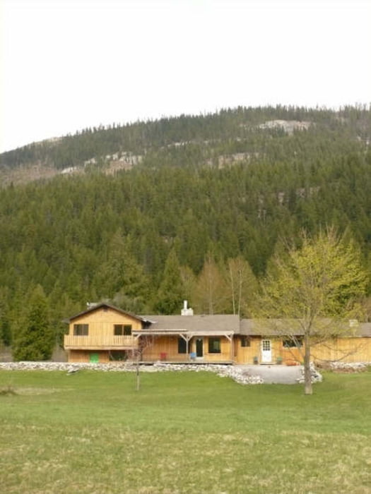
Das Ergebnis war wirklich sehr nett


Wie gesagt, für ein kurzes Alpenerleben, war diese Tour sehr nett.


Further information at

http://campmouettes.free.fr/

Mapa trasy i profil wysokości

  • Open Street Map
  • Google
Minimum height 936 m Maximum height 1095 m Widok szczegółowy

More about the tour author

Calvizie
Member since 2009

Send private message

Komentarze

GPS tracks

Trackpoints
  • GPX / Garmin Map Source (gpx) download
  • TCX / Garmin Training Center® (tcx) download
  • CRS / Garmin Training Center® (crs) download
  • Google Earth (kml) download
  • G7ToWin (g7t) download
  • TTQV (trk) download
  • Overlay (ovl) download
  • Fugawi (txt) download
  • Kompass (DAV) Track (tk) download
  • Karta trasy (pdf) download
  • Original file of the author (gpx) download

More about the tour author

Calvizie
Member since 2009

Send private message
Share track
Add to my favorites
Remove from my favorites
Edit tags
My score
Rate
Trasa: Franz. Alpen zum Kennen lernen
Rodzaj: Rower górski (MTB)
Długość: 11,6 km
Evaluated on:
Czas trwania:
Day(s)
Hour(s)
Minute(s)
Ocena: Krajobraz Czynnik zadowolenia Kondycja Technika