Login

Zapomniałeś swój login?

Cookies have to be accepted!
Your browser's cookie functionality is disabled. Please enable this functionality.

Not a member yet?

Register now
Login

Available for registred users only

Log in to use this feature.

Zapomniałeś swój login?

Cookies have to be accepted!
Your browser's cookie functionality is disabled. Please enable this functionality.

Not a member yet?

Register now
Filter
Kategorie
Advanced filters
  • Długość (km)
  • Wysokość
Zapisz filtr Reset filter

TrackRank

QRCode

Technical data

Długość82,4 km Wysokość1466 m Way down1476 m Czas trwania04:00 h:m Data11.09.2010
Oceny Author Krajobraz Czynnik zadowolenia Kondycja Technika

Statystyka

185 Widoki Oceny 39 Downloads / Pliki do pobrania Przeciętnie
Rate
  • Karta trasy
  • Dojazd
  • Downloads / Pliki do pobrania

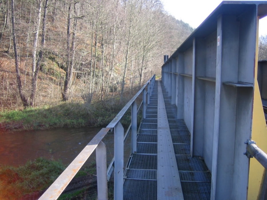
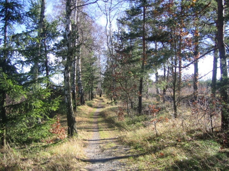
Landschaftlich schöne und körperlich anspruchsvolle Runde mit
wenig Strassenanteil, drei Talsperren und viele andere Höhepunkte.
(Kemmler Kulm, Elstertal, Neuendorf, Naturschutzgebiet Windmühle, Syrau
Stadtwald Plauen, Barthmühle, Lochbauer, Kemmler )

Am besten fährt sich die Runde im Uhrzeigersinn.Non Stop in etwa vier Stunden machbar ,oder schöne Tagestour mit einigen Einkehrmöglichkeiten.(Lochbauer,Barthmühle,Imbiss Tahlsperre Pirk ,Brückenimbiss in Pirk)


Galeria trasy

Mapa trasy i profil wysokości

  • Open Street Map
  • Google
Minimum height 316 m Maximum height 544 m Widok szczegółowy

More about the tour author

vivo63
Member since 2010

Send private message

Komentarze

GPS tracks

Trackpoints
  • GPX / Garmin Map Source (gpx) download
  • TCX / Garmin Training Center® (tcx) download
  • CRS / Garmin Training Center® (crs) download
  • Google Earth (kml) download
  • G7ToWin (g7t) download
  • TTQV (trk) download
  • Overlay (ovl) download
  • Fugawi (txt) download
  • Kompass (DAV) Track (tk) download
  • Karta trasy (pdf) download
  • Original file of the author (gpx) download

More about the tour author

vivo63
Member since 2010

Send private message
Share track
Add to my favorites
Remove from my favorites
Edit tags
My score
Rate
Trasa: Runde um Plauen
Rodzaj: Rower górski (MTB)
Długość: 82,4 km
Evaluated on:
Czas trwania:
Day(s)
Hour(s)
Minute(s)
Ocena: Krajobraz Czynnik zadowolenia Kondycja Technika