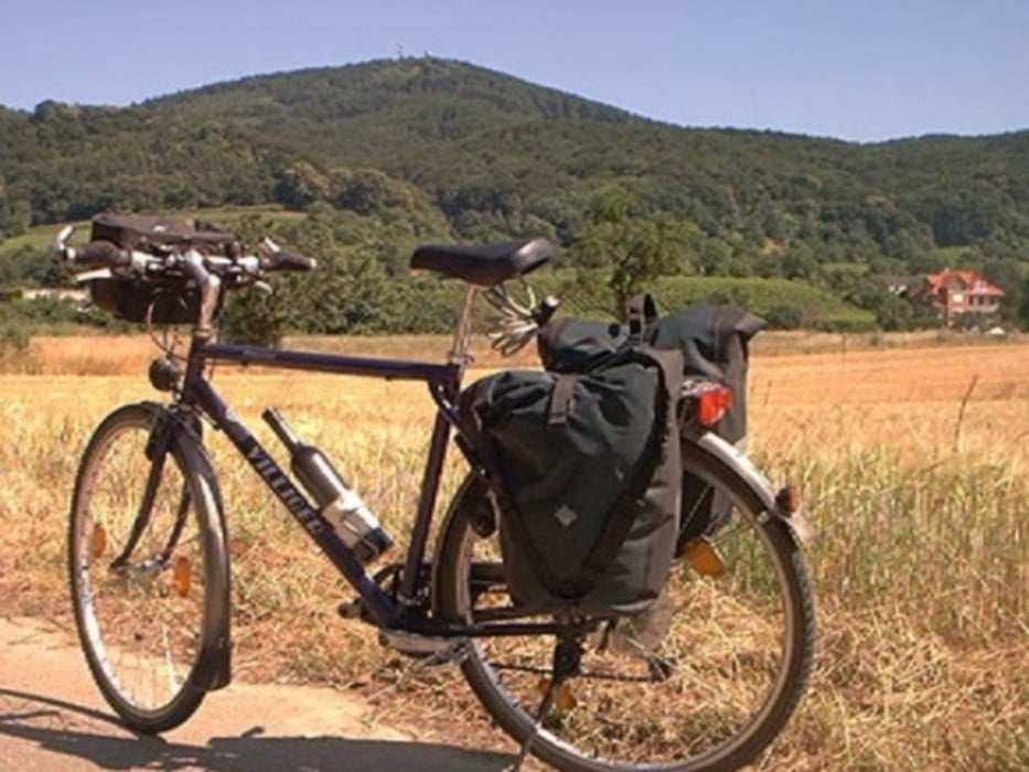
Wir sind eine Ü50 Männerfahrradgruppe. Wir fahren ohne Gepäck, denn wir haben ein Begleitfahrzeug dabei. Die 8 Radtage sind einzeln, aber auch als Gesamttour ersichtlich.
Die Radwege sind in Deutschland und Österreich ok, in Tschechien teilweise "na ja".
ca. 15 km dieser Etappe fuhren wir mit dem Boot auf dem See.
Further information at
http://www.biketripps.deMapa trasy i profil wysokości
Minimum height 194 m
Maximum height 518 m
Komentarze

GPS tracks
Trackpoints-
GPX / Garmin Map Source (gpx) download
-
TCX / Garmin Training Center® (tcx) download
-
CRS / Garmin Training Center® (crs) download
-
Google Earth (kml) download
-
G7ToWin (g7t) download
-
TTQV (trk) download
-
Overlay (ovl) download
-
Fugawi (txt) download
-
Kompass (DAV) Track (tk) download
-
Karta trasy (pdf) download
-
Original file of the author (gpx) download
Add to my favorites
Remove from my favorites
Edit tags
Open track
My score
Rate

