


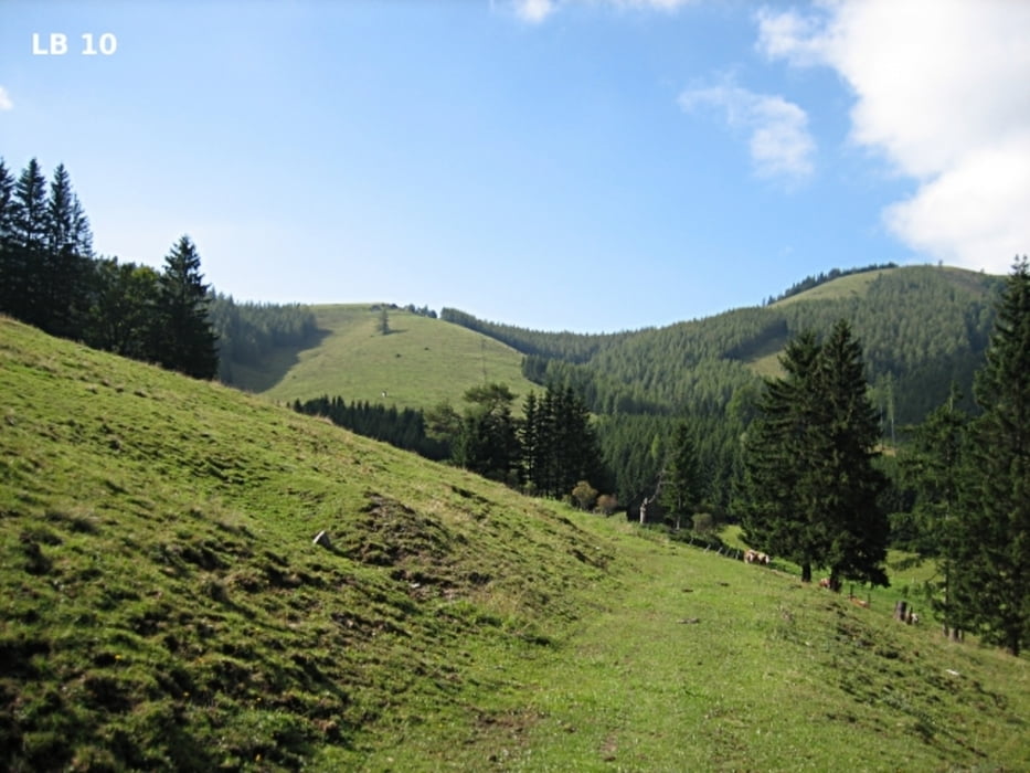
Die Drachentour mit Start in Mixnitz ist eine schöne, mittelschwere MTB-Runde mit den beiden Highlights Teichalm und Tyrnaueralm. Nach dem 14 km langen Einrollen auf der Breitenauerstraße durch den Roßgraben beginnt ein paar Kilometer nach St. Erhard der lange Anstieg durch den Tiefenbachgraben auf die Teichalm. Drei Kilometer nach dem Teichalmsee geht es auf das Dach der Drachentour bei der Tyrnaueralm. Besonders schön ist es auch noch auf der Tyrnaueralm, die ebenfalls noch im Naturpark Almenland liegt.
weitere Infos, Fotos und Video findest du auf - biketours4you.at
Galeria trasy
Mapa trasy i profil wysokości
Minimum height 450 m
Maximum height 1329 m
More about the tour author
|
|
Trek1400d |
Komentarze

GPS tracks
Trackpoints-
GPX / Garmin Map Source (gpx) download
-
TCX / Garmin Training Center® (tcx) download
-
CRS / Garmin Training Center® (crs) download
-
Google Earth (kml) download
-
G7ToWin (g7t) download
-
TTQV (trk) download
-
Overlay (ovl) download
-
Fugawi (txt) download
-
Kompass (DAV) Track (tk) download
-
Karta trasy (pdf) download
-
Original file of the author (gpx) download
More about the tour author
|
|
Trek1400d |
Add to my favorites
Remove from my favorites
Edit tags
Open track
My score
Rate