


Weitere Bilder: www.panoramio.com/photo/46795551
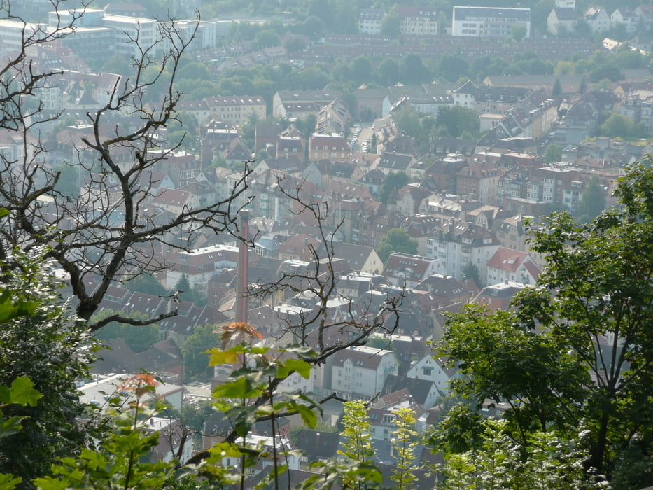
Gestartet wird in Stuttgart beim Kunstmuseum. Über die Köngistraße und die Marienstraße geht es zur Hasenbergsteige. In der Mitte der Hasenbergsteige wird mit dem Blaustrümpflerweg "ausgestiegen" und "langsam" der Aufstieg zum Bärensee vollzogen. Noch ein kleinen Aufstieg zur Universität in Vaihingen, dann relativ eben durch Vaihingen, um dann den letzten Aufstieg auf der Panzerstraße bis zur A8 zu haben. Dann wird die Höhe gehalten und kurz vor Ende der Panzerstraße abschließend zur S-Bahn nach Sindelfingen abgefahren.
Die Strecke geht in der Regel über geschotterte oder geteerte Forstwege.
Further information at
http://www.stuttgart-tourist.deGaleria trasy


Mapa trasy i profil wysokości
Minimum height 236 m
Maximum height 522 m
More about the tour author
|
|
MatthiasBy |
Komentarze

Der Start ist am Kleinen Schloßplatz beim Kunstmuseum in Stuttgart. Das Ende der Tour ist an der S-Bahn Haltestelle Sindelfingen-Goldberg.
GPS tracks
Trackpoints-
GPX / Garmin Map Source (gpx) download
-
TCX / Garmin Training Center® (tcx) download
-
CRS / Garmin Training Center® (crs) download
-
Google Earth (kml) download
-
G7ToWin (g7t) download
-
TTQV (trk) download
-
Overlay (ovl) download
-
Fugawi (txt) download
-
Kompass (DAV) Track (tk) download
-
Karta trasy (pdf) download
-
Original file of the author (gpx) download
More about the tour author
|
|
MatthiasBy |
Add to my favorites
Remove from my favorites
Edit tags
Open track
My score
Rate