


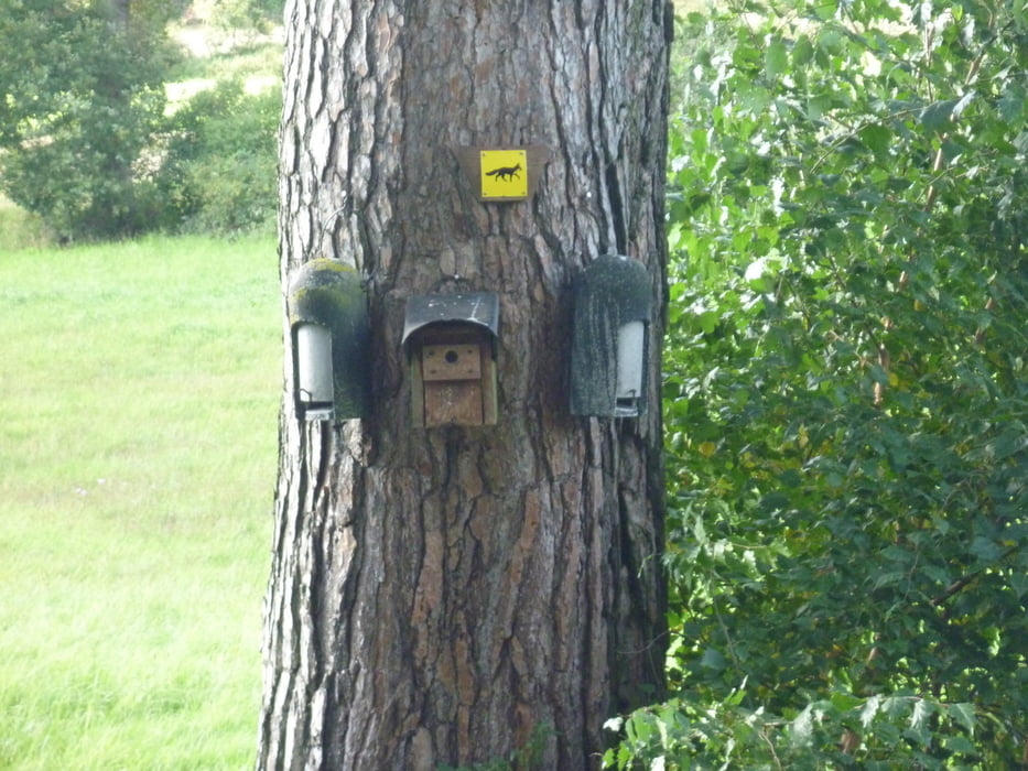
Schöne Wandertour durch den Steigerwald, in einer etwas abgeänderten Form des Fuchs-Weges.
Als Ausgangspunkt haben wir den Parkplatz in Fatschenbrunn am Gastaus Lindenhof gewählt und sind dann dem Fuchszeichen Richtung Trossenfurt gefolgt. da wir in Trossenfurt nicht wieder den selben Weg zurücklaufen wollten, sind wir dann über Tretzendorf am Dammwild Gasthaus Jäger vorbei nach Fatschenbrunn zurückgelaufen.
Further information at
http://www.lindenhof-steigerwald.de/Galeria trasy

Mapa trasy i profil wysokości
Minimum height 302 m
Maximum height 406 m
More about the tour author
|
|
schwarze_brenta |
Komentarze

Von der Autobahnabfahrt - A70 - Knetzgau, Richtung Zell am Ebersberg über Unterschleichach nach Fatschenbrunn
GPS tracks
Trackpoints-
GPX / Garmin Map Source (gpx) download
-
TCX / Garmin Training Center® (tcx) download
-
CRS / Garmin Training Center® (crs) download
-
Google Earth (kml) download
-
G7ToWin (g7t) download
-
TTQV (trk) download
-
Overlay (ovl) download
-
Fugawi (txt) download
-
Kompass (DAV) Track (tk) download
-
Karta trasy (pdf) download
-
Original file of the author (gpx) download
More about the tour author
|
|
schwarze_brenta |
Add to my favorites
Remove from my favorites
Edit tags
Open track
My score
Rate