Login

Zapomniałeś swój login?

Cookies have to be accepted!
Your browser's cookie functionality is disabled. Please enable this functionality.

Not a member yet?

Register now
Login

Available for registred users only

Log in to use this feature.

Zapomniałeś swój login?

Cookies have to be accepted!
Your browser's cookie functionality is disabled. Please enable this functionality.

Not a member yet?

Register now
Filter
Kategorie
Advanced filters
  • Długość (km)
  • Wysokość
Zapisz filtr Reset filter

TrackRank

QRCode

Technical data

Długość34,8 km Wysokość668 m Way down665 m Czas trwania03:00 h:m Data19.09.2010
Oceny Author Krajobraz Czynnik zadowolenia Kondycja Technika

Statystyka

315 Widoki Oceny 79 Downloads / Pliki do pobrania Przeciętnie
Rate
  • Karta trasy
  • Dojazd
  • Downloads / Pliki do pobrania

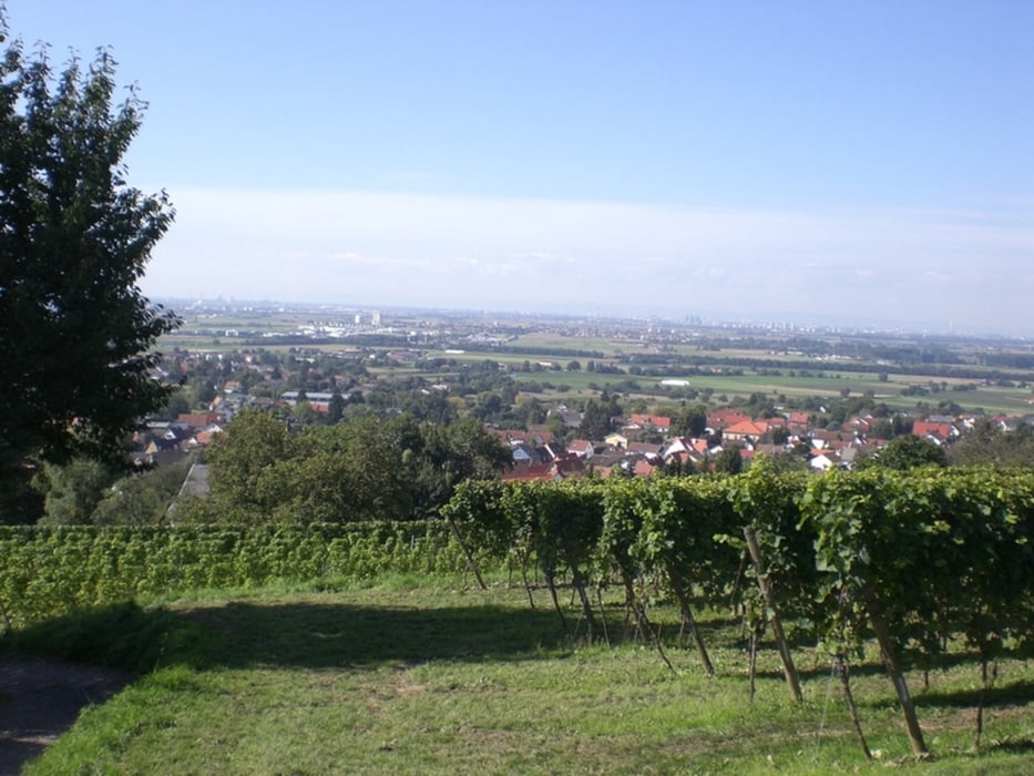
Schöne ruhige Sonntagstour mit Start in Handschuhsheim und dann Richtung Weinheim. Der Erste Teil der Strecke ist erst einmal durch ein paar Weinberge und einem recht hohem Anteil an Straße.

Dann geht es in den Wald bei Weinheim. Wir haben einen kurzen Stop am Naturfreundehaus gemacht um die Höcker mit Kaffee und Kuchen oder Cola zu füllen.

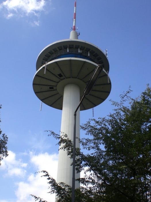
Dann weiter Richtung "Weißer Stein" und von dort aus dann immer Bergab über ein paar schöne Trails die nicht zu anspruchsvoll sind aber mächtig Spaß machen.

Galeria trasy

Mapa trasy i profil wysokości

  • Open Street Map
  • Google
Minimum height 113 m Maximum height 555 m Widok szczegółowy

More about the tour author

Wanierke
Member since 2009

Send private message

Komentarze

GPS tracks

Trackpoints
  • GPX / Garmin Map Source (gpx) download
  • TCX / Garmin Training Center® (tcx) download
  • CRS / Garmin Training Center® (crs) download
  • Google Earth (kml) download
  • G7ToWin (g7t) download
  • TTQV (trk) download
  • Overlay (ovl) download
  • Fugawi (txt) download
  • Kompass (DAV) Track (tk) download
  • Karta trasy (pdf) download
  • Original file of the author (gpx) download

More about the tour author

Wanierke
Member since 2009

Send private message
Share track
Add to my favorites
Remove from my favorites
Edit tags
My score
Rate
Trasa: Weinheim und Umgebug - Sonntagsrunde
Rodzaj: Rower górski (MTB)
Długość: 34,8 km
Evaluated on:
Czas trwania:
Day(s)
Hour(s)
Minute(s)
Ocena: Krajobraz Czynnik zadowolenia Kondycja Technika