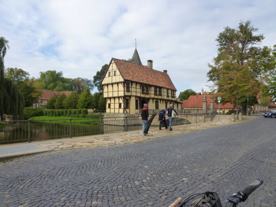
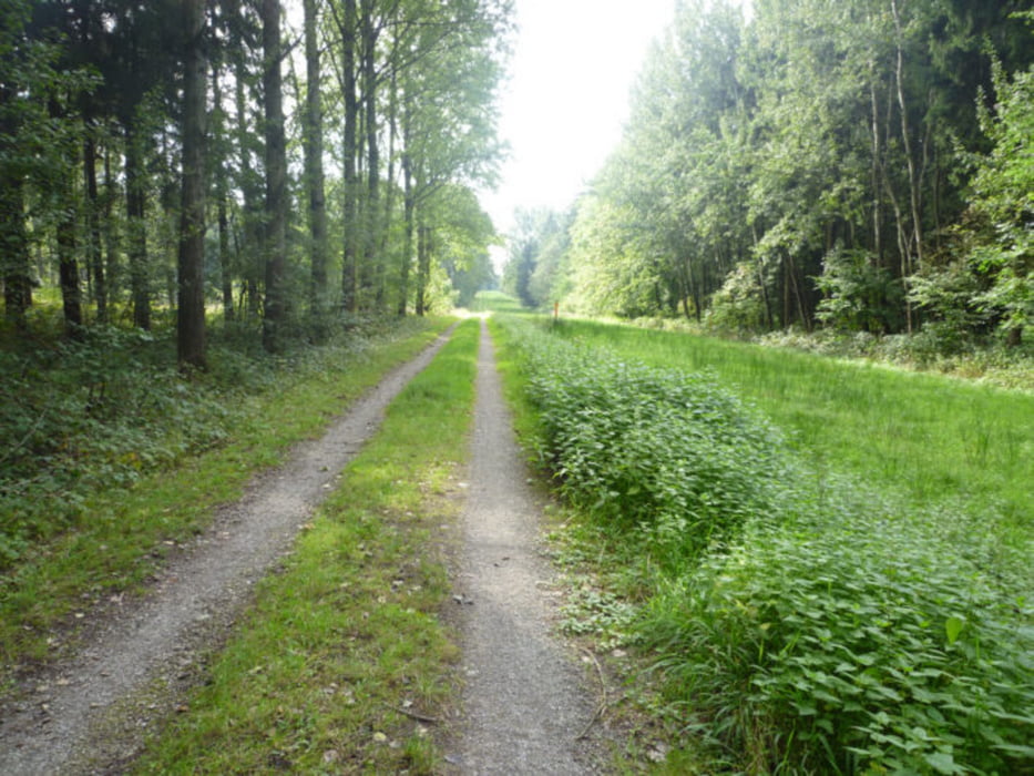
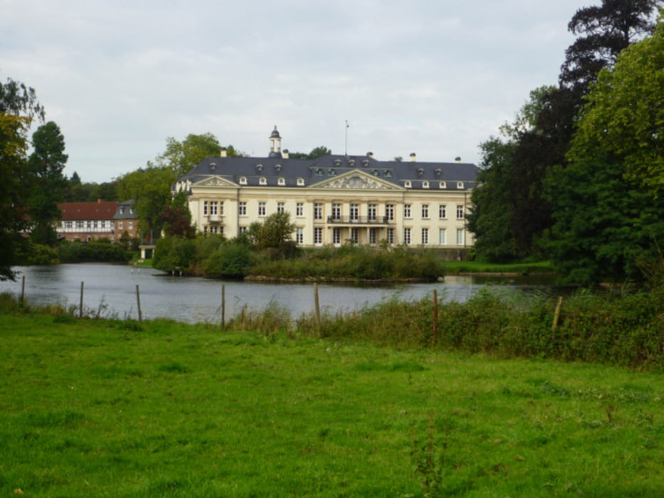
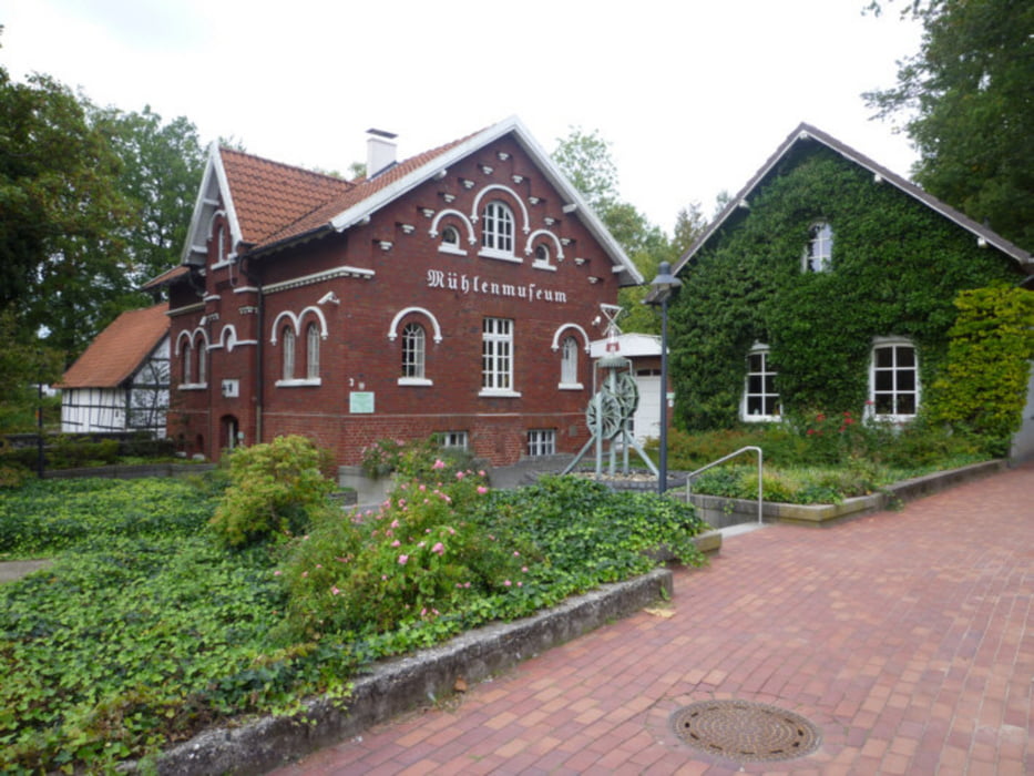
Von Burgsteinfurt die Bahntrasse bis Metelen, über Schöppingen und Eggerode an Coesfeld vorbei bis Maria Veen. Durch die hohe Mark bis Dorsten. Über die schwarze Heide bis Dinslaken und Walsum. Die Strecke ist unterschiedlich, mal Wald- bzw. Wirtschaftsweg und zum geringen Teil Landstraße.
Galeria trasy
Mapa trasy i profil wysokości
Minimum height -16 m
Maximum height 120 m
Komentarze

GPS tracks
Trackpoints-
GPX / Garmin Map Source (gpx) download
-
TCX / Garmin Training Center® (tcx) download
-
CRS / Garmin Training Center® (crs) download
-
Google Earth (kml) download
-
G7ToWin (g7t) download
-
TTQV (trk) download
-
Overlay (ovl) download
-
Fugawi (txt) download
-
Kompass (DAV) Track (tk) download
-
Karta trasy (pdf) download
-
Original file of the author (gpx) download
Add to my favorites
Remove from my favorites
Edit tags
Open track
My score
Rate


