Login

Zapomniałeś swój login?

Cookies have to be accepted!
Your browser's cookie functionality is disabled. Please enable this functionality.

Not a member yet?

Register now
Login

Available for registred users only

Log in to use this feature.

Zapomniałeś swój login?

Cookies have to be accepted!
Your browser's cookie functionality is disabled. Please enable this functionality.

Not a member yet?

Register now
Filter
Kategorie
Advanced filters
  • Długość (km)
  • Wysokość
Zapisz filtr Reset filter

TrackRank

QRCode

Technical data

Długość9,8 km Wysokość298 m Way down197 m Czas trwania03:15 h:m Data22.09.2010
Oceny Author Krajobraz Czynnik zadowolenia Kondycja Technika

Statystyka

684 Widoki Oceny 54 Downloads / Pliki do pobrania Przeciętnie
Rate
  • Karta trasy
  • Dojazd
  • Downloads / Pliki do pobrania

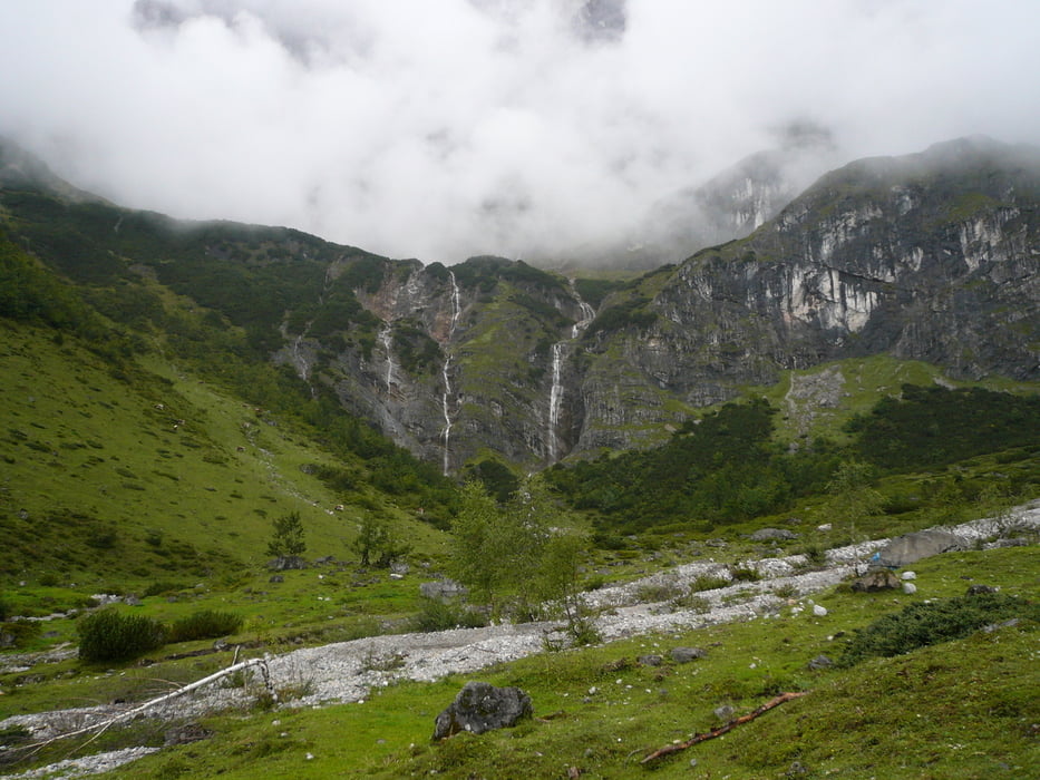
Vom Arthur Haus wandert man in leichtem Auf und Ab gemütlich unterhalb der Mandlwände von einer kleinen Alm zur nächsten und genießt dabei die wunderbare Aussicht auf den mächtigen Hochkönig. Vorbei an der Mitterbergalm, der Riedingalm und der Widdersbergalm gelangt man zur Schönbergalm, auf der die Erichhütte steht.

Further information at

http://www.via-alpina.org/de/stage/37

Galeria trasy

Mapa trasy i profil wysokości

  • Open Street Map
  • Google
Minimum height 1383 m Maximum height 1588 m Widok szczegółowy

More about the tour author

AminSharaf
Member since 2007

Send private message

Komentarze

GPS tracks

Trackpoints
  • GPX / Garmin Map Source (gpx) download
  • TCX / Garmin Training Center® (tcx) download
  • CRS / Garmin Training Center® (crs) download
  • Google Earth (kml) download
  • G7ToWin (g7t) download
  • TTQV (trk) download
  • Overlay (ovl) download
  • Fugawi (txt) download
  • Kompass (DAV) Track (tk) download
  • Karta trasy (pdf) download
  • Original file of the author (gpx) download

More about the tour author

AminSharaf
Member since 2007

Send private message
Share track
Add to my favorites
Remove from my favorites
Edit tags
My score
Rate
Trasa: Via Alpina A37 Arthurhaus - Erichhütte
Rodzaj: Wędrówki
Długość: 9,8 km
Evaluated on:
Czas trwania:
Day(s)
Hour(s)
Minute(s)
Ocena: Krajobraz Czynnik zadowolenia Kondycja Technika