Login

Zapomniałeś swój login?

Cookies have to be accepted!
Your browser's cookie functionality is disabled. Please enable this functionality.

Not a member yet?

Register now
Login

Available for registred users only

Log in to use this feature.

Zapomniałeś swój login?

Cookies have to be accepted!
Your browser's cookie functionality is disabled. Please enable this functionality.

Not a member yet?

Register now
Filter
Kategorie
Advanced filters
  • Długość (km)
  • Wysokość
Zapisz filtr Reset filter

TrackRank

QRCode

Technical data

Długość135,0 km Wysokość976 m Way down943 m Czas trwania09:50 h:m Data24.09.2010
Oceny Author Krajobraz Czynnik zadowolenia Kondycja Technika

Statystyka

726 Widoki Oceny 31 Downloads / Pliki do pobrania Przeciętnie
Rate
  • Karta trasy
  • Dojazd
  • Downloads / Pliki do pobrania

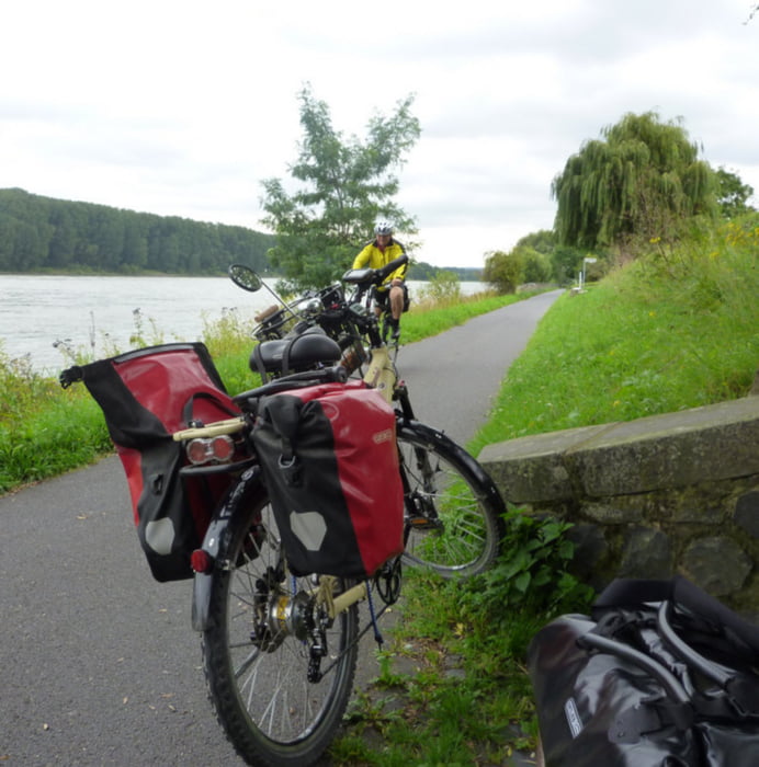
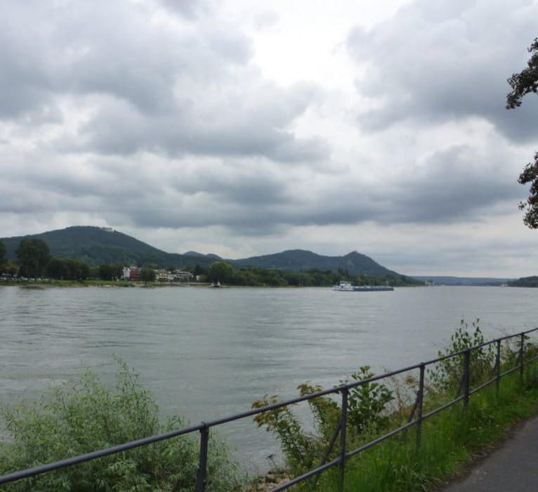
Mit der Bahn nach Düsseldorf- Benrath. Westwärts zum Rhein. Auf der linken Seite den Rhein hinauf bis zur Hitdorfer Fähre. Mit der Fähre übersetzen und auf der rechten Rheinseite weiter bis Köln. Nun auf der rechten Seite bleiben, durch Bonn, an der Brücke von Remagen vorbei immer weiter bis Koblenz. Stellenweise muss der Rhein verlassen werden um Industrieanlagen zu umfahren. Das sind aber nur kurze Stücke. Die Wege sind größtenteils asphaltiert und lassen sich gut befahren.

Galeria trasy

Mapa trasy i profil wysokości

  • Open Street Map
  • Google
Minimum height -46 m Maximum height 139 m Widok szczegółowy

More about the tour author

prabodh
Member since 2010

Send private message

Komentarze

GPS tracks

Trackpoints
  • GPX / Garmin Map Source (gpx) download
  • TCX / Garmin Training Center® (tcx) download
  • CRS / Garmin Training Center® (crs) download
  • Google Earth (kml) download
  • G7ToWin (g7t) download
  • TTQV (trk) download
  • Overlay (ovl) download
  • Fugawi (txt) download
  • Kompass (DAV) Track (tk) download
  • Karta trasy (pdf) download
  • Original file of the author (gpx) download

More about the tour author

prabodh
Member since 2010

Send private message
Share track
Add to my favorites
Remove from my favorites
Edit tags
My score
Rate
Trasa: Von Düsseldorf Benrath bis Koblenz
Rodzaj: Rower trekkingowy
Długość: 135,0 km
Evaluated on:
Czas trwania:
Day(s)
Hour(s)
Minute(s)
Ocena: Krajobraz Czynnik zadowolenia Kondycja Technika