Login

Zapomniałeś swój login?

Cookies have to be accepted!
Your browser's cookie functionality is disabled. Please enable this functionality.

Not a member yet?

Register now
Login

Available for registred users only

Log in to use this feature.

Zapomniałeś swój login?

Cookies have to be accepted!
Your browser's cookie functionality is disabled. Please enable this functionality.

Not a member yet?

Register now
Filter
Kategorie
Advanced filters
  • Długość (km)
  • Wysokość
Zapisz filtr Reset filter

TrackRank

QRCode

Technical data

Długość48,2 km Wysokość985 m Way down981 m Czas trwania03:00 h:m Data25.09.2010
Oceny Author Krajobraz Czynnik zadowolenia Kondycja Technika

Statystyka

527 Widoki 1 Ocena 83 Downloads / Pliki do pobrania 2.00 Przeciętnie
Rate
  • Karta trasy
  • Dojazd
  • Downloads / Pliki do pobrania

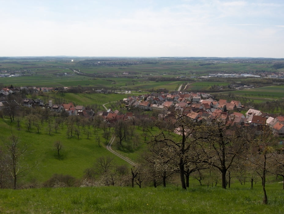
schoene Runde mit ca. 50% Singletrail-Anteil und einige knackige Anstiege, aber auch asphaltierte Radwege

(Altingen - Kayher Sportplatz - Breitenholz - Hohenentringen - Roseck -  Tuebingen Schwarzloechle - Wurmlinger Kapelle - Wendelsheim Maerchensee - Hailfingen - Tailfingen - Altingen)

Mapa trasy i profil wysokości

  • Open Street Map
  • Google
Minimum height 335 m Maximum height 550 m Widok szczegółowy

More about the tour author

mimorg1
Member since 2010

Send private message

Komentarze

naehe Autobahnausfahrt Herrenberg, Bahnhof Altingen (Parkmoeglichkeit)

GPS tracks

Trackpoints
  • GPX / Garmin Map Source (gpx) download
  • TCX / Garmin Training Center® (tcx) download
  • CRS / Garmin Training Center® (crs) download
  • Google Earth (kml) download
  • G7ToWin (g7t) download
  • TTQV (trk) download
  • Overlay (ovl) download
  • Fugawi (txt) download
  • Kompass (DAV) Track (tk) download
  • Karta trasy (pdf) download
  • Original file of the author (gpx) download

More about the tour author

mimorg1
Member since 2010

Send private message
Share track
Add to my favorites
Remove from my favorites
Edit tags
My score
Rate
Trasa: Schoenbuch-Maerchensee Runde
Rodzaj: Rower górski (MTB)
Długość: 48,2 km
Evaluated on:
Czas trwania:
Day(s)
Hour(s)
Minute(s)
Ocena: Krajobraz Czynnik zadowolenia Kondycja Technika