Login

Zapomniałeś swój login?

Cookies have to be accepted!
Your browser's cookie functionality is disabled. Please enable this functionality.

Not a member yet?

Register now
Login

Available for registred users only

Log in to use this feature.

Zapomniałeś swój login?

Cookies have to be accepted!
Your browser's cookie functionality is disabled. Please enable this functionality.

Not a member yet?

Register now
Filter
Kategorie
Advanced filters
  • Długość (km)
  • Wysokość
Zapisz filtr Reset filter

TrackRank

QRCode

Technical data

Długość9,5 km Wysokość896 m Way down305 m Czas trwania07:00 h:m Data26.09.2010
Oceny Author Krajobraz Czynnik zadowolenia Kondycja Technika

Statystyka

1229 Widoki Oceny 94 Downloads / Pliki do pobrania Przeciętnie
Rate
  • Karta trasy
  • Dojazd
  • Downloads / Pliki do pobrania

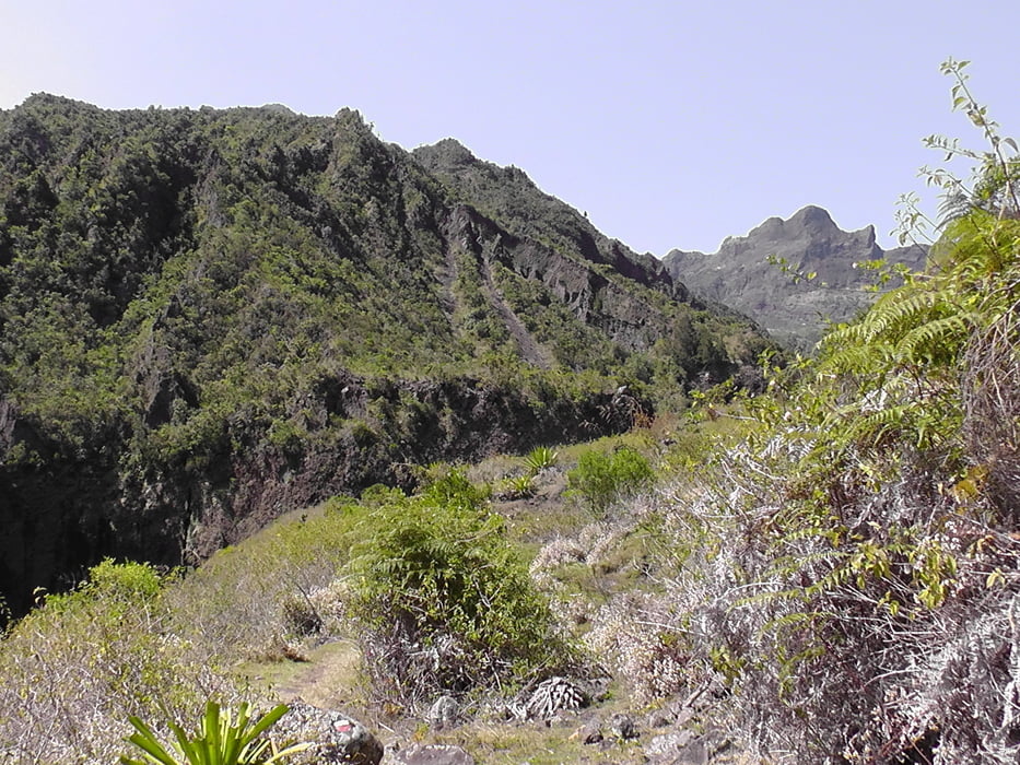
Der Tag drei startet von Roche Plate und führt uns über einen anstrengenen Weg nach Marla.

Further information at

http://www.reunion-nature.com/fiche-etablissement.html?cle=21

Galeria trasy

Mapa trasy i profil wysokości

  • Open Street Map
  • Google
Minimum height 1031 m Maximum height 1631 m Widok szczegółowy

More about the tour author

Joachimr
Member since 2009

Send private message

Komentarze

Start bei Tour Tag 2

GPS tracks

Trackpoints
  • GPX / Garmin Map Source (gpx) download
  • TCX / Garmin Training Center® (tcx) download
  • CRS / Garmin Training Center® (crs) download
  • Google Earth (kml) download
  • G7ToWin (g7t) download
  • TTQV (trk) download
  • Overlay (ovl) download
  • Fugawi (txt) download
  • Kompass (DAV) Track (tk) download
  • Karta trasy (pdf) download
  • Original file of the author (gpx) download

More about the tour author

Joachimr
Member since 2009

Send private message
Share track
Add to my favorites
Remove from my favorites
Edit tags
My score
Rate
Trasa: La Reunion GR R2 von Roche Plate nach Marla Tag 3
Rodzaj: Wędrówki
Długość: 9,5 km
Evaluated on:
Czas trwania:
Day(s)
Hour(s)
Minute(s)
Ocena: Krajobraz Czynnik zadowolenia Kondycja Technika