
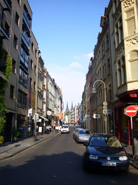

Die Strecke zeichnet sich als kleine Trainingsrunde aus, bei der wenig auf Strassen gefahren wird.
Vom Friesenplatz geht es Richtung Dom und dann zur Hohenzollernbrücke. Auf der anderen Rheinseite agekommen, geht´s rechts die Treppe runter und dann Richtung Bonn am Rhein vorbei. Da z.Zt dort gebaut wird muss man etwas rumeiern. Dann geht es immer am Rhein vorbei bis zur Rodenkirchener Brücke. Dort wieder auf die linke Rheinseite und nun über den Grüngürtel bis zum Rhein Energie Stadion. Von dort geht es am "Kanal vorbei bis zum Aachener Weiher und zurück zum Friesenplatz.
Mapa trasy i profil wysokości
Minimum height 23 m
Maximum height 63 m
More about the tour author
|
|
Prados76 |
Komentarze

GPS tracks
Trackpoints-
GPX / Garmin Map Source (gpx) download
-
TCX / Garmin Training Center® (tcx) download
-
CRS / Garmin Training Center® (crs) download
-
Google Earth (kml) download
-
G7ToWin (g7t) download
-
TTQV (trk) download
-
Overlay (ovl) download
-
Fugawi (txt) download
-
Kompass (DAV) Track (tk) download
-
Karta trasy (pdf) download
-
Original file of the author (gpx) download
More about the tour author
|
|
Prados76 |
Add to my favorites
Remove from my favorites
Edit tags
Open track
My score
Rate