Login

Zapomniałeś swój login?

Cookies have to be accepted!
Your browser's cookie functionality is disabled. Please enable this functionality.

Not a member yet?

Register now
Login

Available for registred users only

Log in to use this feature.

Zapomniałeś swój login?

Cookies have to be accepted!
Your browser's cookie functionality is disabled. Please enable this functionality.

Not a member yet?

Register now
Filter
Kategorie
Advanced filters
  • Długość (km)
  • Wysokość
Zapisz filtr Reset filter

TrackRank

QRCode

Technical data

Długość33,5 km Wysokość82 m Way down86 m Czas trwania02:00 h:m Data02.10.2010
Oceny Author Krajobraz Czynnik zadowolenia Kondycja Technika

Statystyka

500 Widoki Oceny 110 Downloads / Pliki do pobrania Przeciętnie
Rate
  • Karta trasy
  • Dojazd
  • Downloads / Pliki do pobrania

Auf der beschilderten Ruta cicloturistica von L'Escala Empuries zum Fluß Fluvia. Die Strecke führt überwiegend über Feldwege, die gut ausgebaut sind. Lediglich im Bereich St. Martin ist ein Teilstück mit schlechterem Wegbelag.

Galeria trasy

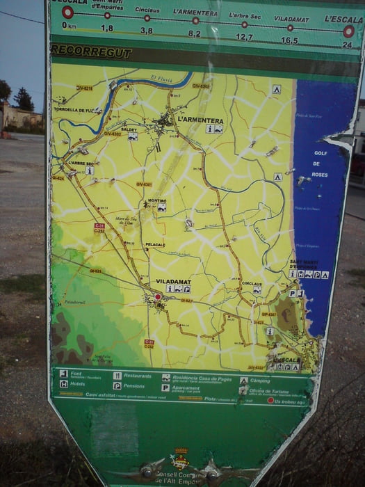
Mapa trasy i profil wysokości

  • Open Street Map
  • Google
Minimum height 2 m Maximum height 29 m Widok szczegółowy

More about the tour author

Struwe
Member since 2007

Send private message

Komentarze

jojojo1450 on 03.07.2011

Schöne Tour

Hallo Struwe,

wir sind deine Tour im Juni 2011 nachgefahren.
Schöne Tour durch Plantagen und Felder.

Danke
jojojo1450

GPS tracks

Trackpoints
  • GPX / Garmin Map Source (gpx) download
  • TCX / Garmin Training Center® (tcx) download
  • CRS / Garmin Training Center® (crs) download
  • Google Earth (kml) download
  • G7ToWin (g7t) download
  • TTQV (trk) download
  • Overlay (ovl) download
  • Fugawi (txt) download
  • Kompass (DAV) Track (tk) download
  • Karta trasy (pdf) download
  • Original file of the author (gpx) download

More about the tour author

Struwe
Member since 2007

Send private message
Share track
Add to my favorites
Remove from my favorites
Edit tags
My score
Rate
Trasa: Von L'Escala zum Fluvia
Rodzaj: Rower górski (MTB)
Długość: 33,5 km
Evaluated on:
Czas trwania:
Day(s)
Hour(s)
Minute(s)
Ocena: Krajobraz Czynnik zadowolenia Kondycja Technika