


Von Scheuereck zum Polednik!
Sehr anspruchsvolle Wanderung! Gute Kondition unbedingt erforderlich!
Von Scheuereck aus gehts über eine Forststraße steil bergauf (Gunthersteig). Später gehts über Forstwege weiter zum Grenzübergang Gsenget. Kurz nach der Grenze erreicht man einen Schachten. Weiter gehts über den Schachten hinab zu einem Bach der zu überqueren ist (grüne Wegemarkierung folgen). Dann gehts wieder steil bergauf auf Forst- und Waldwegen bis zum Gipfel des Polednik.
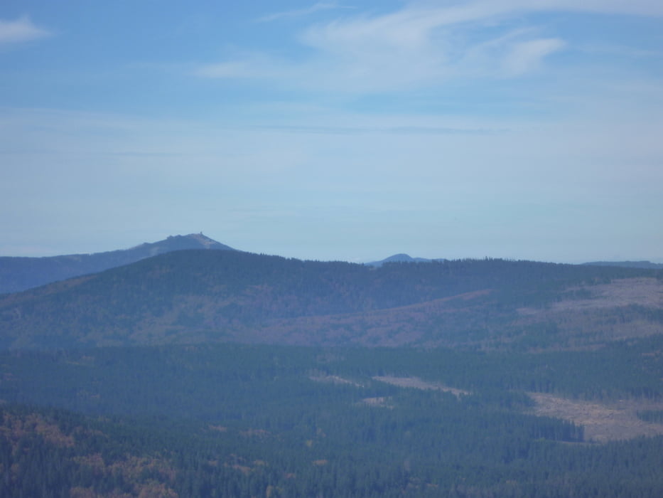
Am Gipft erwartet einem der ehemalige Radarturm der jetzt als Aussichtsturm genutzt wird!
Der Turm ist Pflicht und sollte auf jeden Fall bestiegen werden. Vom Turm aus blickt man über den gesamten Bayer- und Böhmerwald. Bei günstigen Wetter bis zu den Alpen.
Neben dem Turm befindet sich auch ein Kiosk und eine Infostelle zum Nationalpark Sumava.
Galeria trasy


Mapa trasy i profil wysokości
Minimum height 792 m
Maximum height 1320 m
More about the tour author

|
preiste |
Komentarze

Parkplatz Scheuereck
GPS tracks
Trackpoints-
GPX / Garmin Map Source (gpx) download
-
TCX / Garmin Training Center® (tcx) download
-
CRS / Garmin Training Center® (crs) download
-
Google Earth (kml) download
-
G7ToWin (g7t) download
-
TTQV (trk) download
-
Overlay (ovl) download
-
Fugawi (txt) download
-
Kompass (DAV) Track (tk) download
-
Karta trasy (pdf) download
-
Original file of the author (gpx) download
More about the tour author
|
|
preiste |
Add to my favorites
Remove from my favorites
Edit tags
Open track
My score
Rate