Login

Zapomniałeś swój login?

Cookies have to be accepted!
Your browser's cookie functionality is disabled. Please enable this functionality.

Not a member yet?

Register now
Login

Available for registred users only

Log in to use this feature.

Zapomniałeś swój login?

Cookies have to be accepted!
Your browser's cookie functionality is disabled. Please enable this functionality.

Not a member yet?

Register now
Filter
Kategorie
Advanced filters
  • Długość (km)
  • Wysokość
Zapisz filtr Reset filter

TrackRank

QRCode

Technical data

Długość68,6 km Wysokość290 m Way down310 m Czas trwania04:00 h:m Data03.10.2010
Oceny Author Krajobraz Czynnik zadowolenia Kondycja Technika

Statystyka

1642 Widoki Oceny 55 Downloads / Pliki do pobrania Przeciętnie
Rate
  • Karta trasy
  • Dojazd
  • Downloads / Pliki do pobrania

Further information at

http://thorsten-bachner.de

Galeria trasy

Mapa trasy i profil wysokości

  • Open Street Map
  • Google
Minimum height 53 m Maximum height 192 m Widok szczegółowy

More about the tour author

tbachner
Member since 2007

Send private message

Komentarze

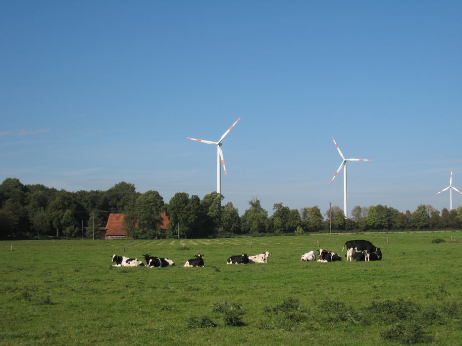
Die Tour beginnt am Bahnhof in Hatern am See. Dieser ist über den Regionalexpress Mönchengladbach-Münster und eine S-Bahn gut an das Schienennetz des Ruhrgebiets angebunden.

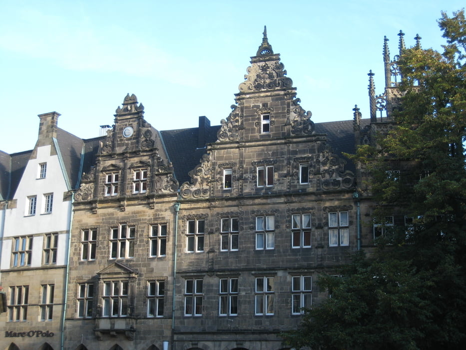
Das Ende der Tour bildet der Hauptbahnhof Münster. Weitere Bahnhöfe an der Strecke finden sich in Dülmen, Nottuln-Appelhülsen und Havisbeck.

GPS tracks

Trackpoints
  • GPX / Garmin Map Source (gpx) download
  • TCX / Garmin Training Center® (tcx) download
  • CRS / Garmin Training Center® (crs) download
  • Google Earth (kml) download
  • G7ToWin (g7t) download
  • TTQV (trk) download
  • Overlay (ovl) download
  • Fugawi (txt) download
  • Kompass (DAV) Track (tk) download
  • Karta trasy (pdf) download
  • Original file of the author (gpx) download

More about the tour author

tbachner
Member since 2007

Send private message
Share track
Add to my favorites
Remove from my favorites
Edit tags
My score
Rate
Trasa: Haltern am See - Münster in Westfalen
Rodzaj: Rower trekkingowy
Długość: 68,6 km
Evaluated on:
Czas trwania:
Day(s)
Hour(s)
Minute(s)
Ocena: Krajobraz Czynnik zadowolenia Kondycja Technika