Login

Zapomniałeś swój login?

Cookies have to be accepted!
Your browser's cookie functionality is disabled. Please enable this functionality.

Not a member yet?

Register now
Login

Available for registred users only

Log in to use this feature.

Zapomniałeś swój login?

Cookies have to be accepted!
Your browser's cookie functionality is disabled. Please enable this functionality.

Not a member yet?

Register now
Filter
Kategorie
Advanced filters
  • Długość (km)
  • Wysokość
Zapisz filtr Reset filter

TrackRank

QRCode

Technical data

Długość65,5 km Wysokość483 m Way down497 m Czas trwania04:10 h:m Data03.10.2010
Oceny Author User Krajobraz Czynnik zadowolenia Kondycja Technika

Statystyka

434 Widoki 1 Ocena 72 Downloads / Pliki do pobrania 4.00 Przeciętnie
Rate
  • Karta trasy
  • Dojazd
  • Downloads / Pliki do pobrania

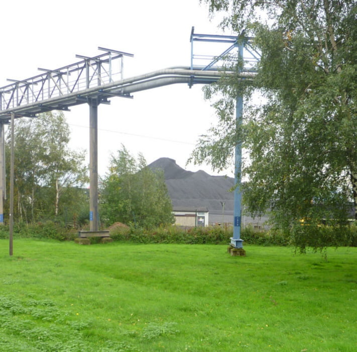
Die Tour startet in Duisburg Walsum, führt über Dienslaken am Rotbach entlang zwischen Kirchhellen und Grafenwald hindurch über Gladbeck nach Gelsenkirchen zum Rhein- Herne- Kanal. Den Kanal entlang bis Oberhausen Niederrheinstadion. Dann die Hoag- Trasse bis Duisburg Walsum. Die Strecke ist teils asphaltiert, teils unbefestigt. Besonders bei Regenwetter ist am Kanal mit Pfützen zu rechnen.
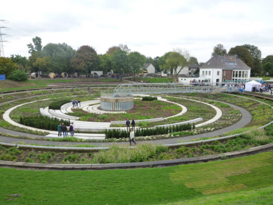
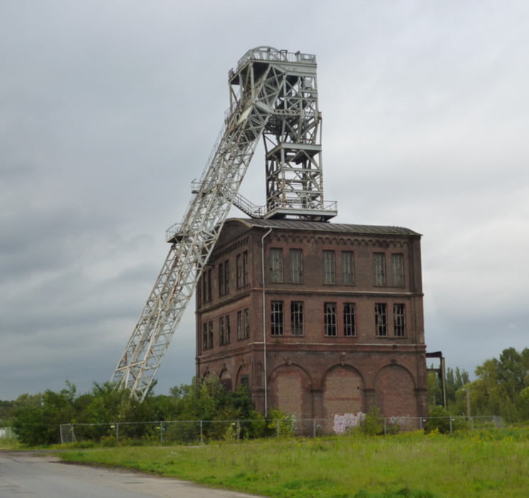
Galeria trasy

Mapa trasy i profil wysokości

  • Open Street Map
  • Google
Minimum height 9 m Maximum height 120 m Widok szczegółowy

More about the tour author

prabodh
Member since 2010

Send private message

Komentarze

buggi on 19.12.2015

Winterrunde

Schöne Runde um im Winter nicht die Kondition zu verlieren! :-)

Ich kam jedoch nur auf ca. 250hm.

Danke aber dafür!

GPS tracks

Trackpoints
  • GPX / Garmin Map Source (gpx) download
  • TCX / Garmin Training Center® (tcx) download
  • CRS / Garmin Training Center® (crs) download
  • Google Earth (kml) download
  • G7ToWin (g7t) download
  • TTQV (trk) download
  • Overlay (ovl) download
  • Fugawi (txt) download
  • Kompass (DAV) Track (tk) download
  • Karta trasy (pdf) download
  • Original file of the author (gpx) download

More about the tour author

prabodh
Member since 2010

Send private message
Share track
Add to my favorites
Remove from my favorites
Edit tags
My score
Rate
Trasa: Ruhrgebiet östlich von Duisburg
Rodzaj: Rower trekkingowy
Długość: 65,5 km
Evaluated on:
Czas trwania:
Day(s)
Hour(s)
Minute(s)
Ocena: Krajobraz Czynnik zadowolenia Kondycja Technika